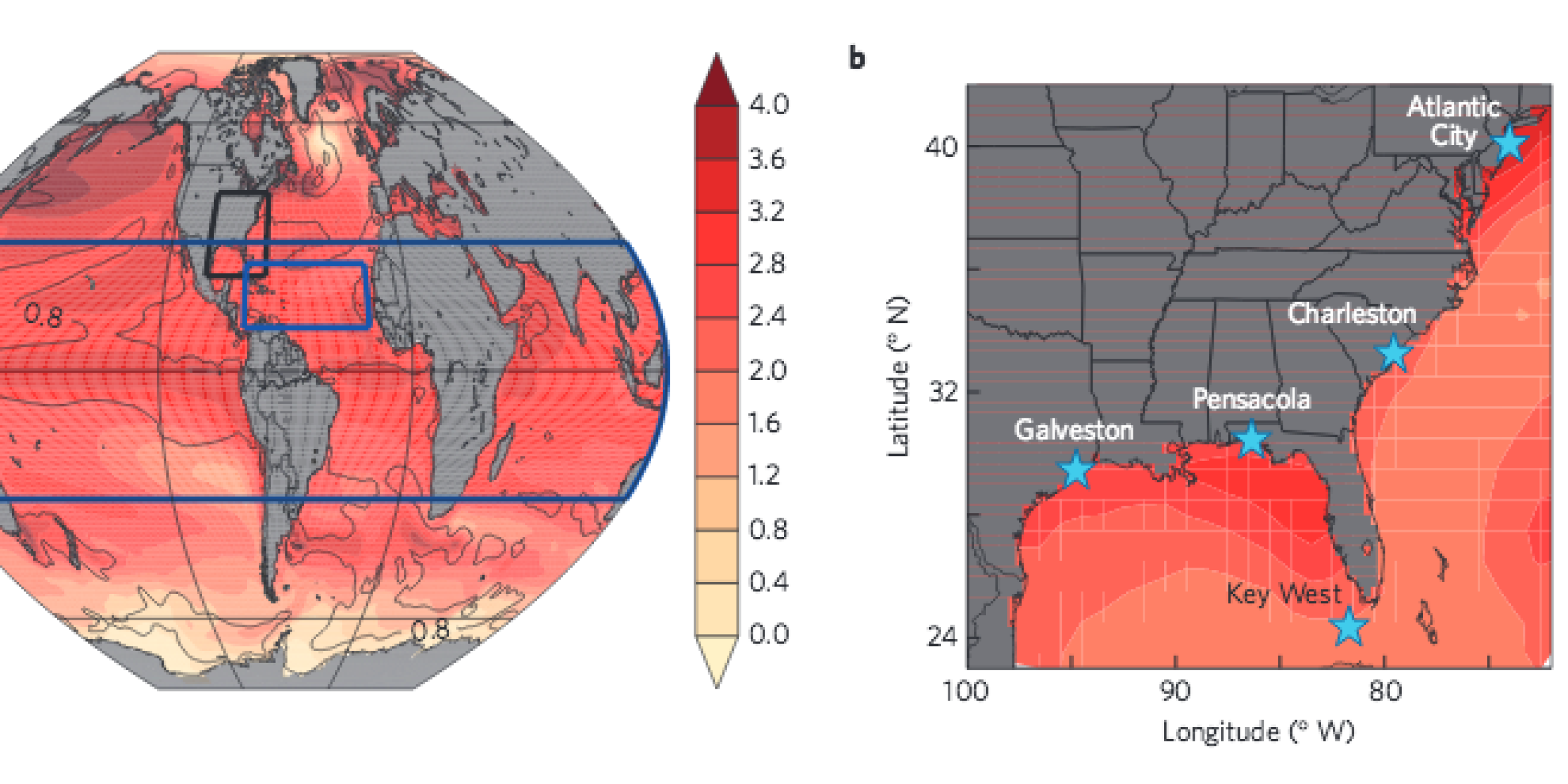
A new study published in Nature Climate Change on Sept. 21, 2015, and supported by NOAA’s Climate Program Office employs a unique approach to assess flood risk by combining consideration of oceanographic sea level rise (SLR) and tropical cyclone intensity, frequency and duration (using the Power Dissipation Index: PDI) into a flood index.
The researchers developed the flood index using a 15 member multi-model ensemble under low and high anthropogenic forcing scenarios (RCP 2.6 and 8.5, respectively).


Little et al. project a substantial increase in flood hazard risk on the East Coast throughout this century, and note that the joint probability of both the PDI and SLR is an important consideration when determining climate impact and flood risk as failure to consider both may lead to underestimates of coastal flood risk.
The flood index complements other approaches, such as hazard curves, and an important future goal is reconciling these approaches to provide robust local risk assessments.
This paper expands the set of techniques used for assessing coastal flood risk by creating an index that is replicable and possible to operationalize so it can be one of several consistent metrics for projecting coastal flood risk.
To access a PDF of the paper, visit: http://geology.rutgers.edu/images/Publications_PDFS/nclimate2801.pdf
Assessing flood hazards on the U.S. East Coast considering sea level rise and tropical cyclone activity
