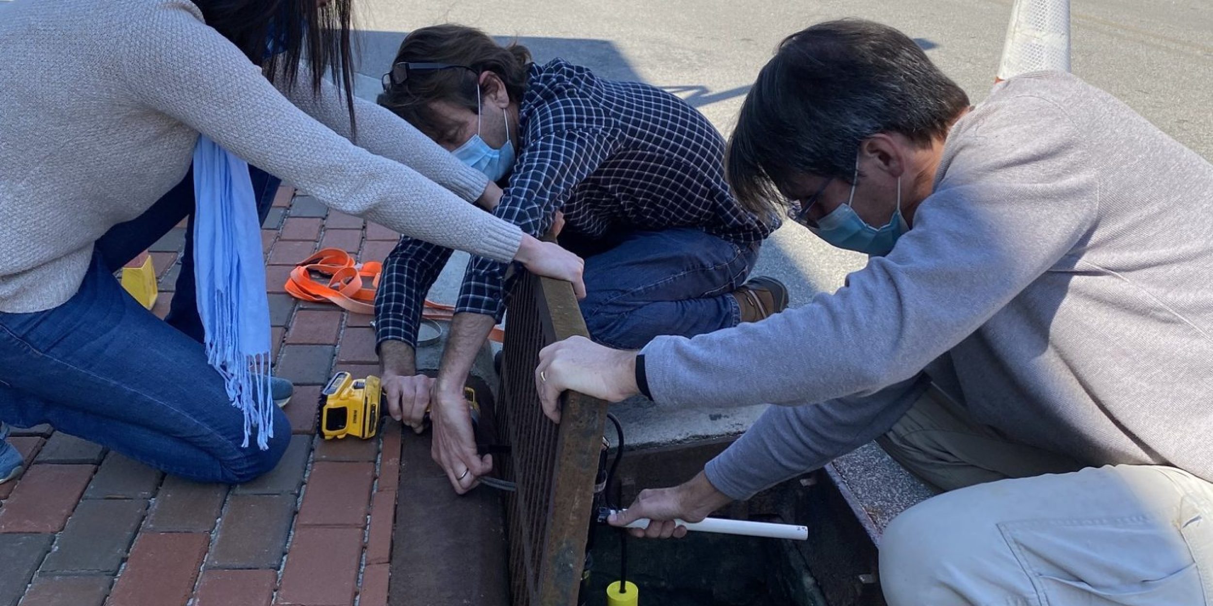
Dr. Miyuki Hino, Co-PI on NOAA CAP/RISA Carolinas Collaborative for Climate, Health, and Equity (C3HE) team, together with a team of researchers from University of North Carolina Chapel Hill and North Carolina State University release a new study, Data From the Drain: A Sensor Framework That Captures Multiple Drivers of Chronic Coastal Floods. Chronic floods are locations that experience flooding multiple times per year due to drivers other than extreme storms. Coastal floods are often hyper-local in particular “problem areas” that local residents can identify but are hard to measure for frequency and extent of the flooding. A common tool for measuring these factors are tide water gauges used by some forecasting services to issue flood advisories once the water reaches a certain threshold. While sea level rise is clearly implicated, other land-based drivers are not captured with this tool. The PIs of the study created a new sensor framework to include land-based contributions to flooding, such as rainfall. Over the 5 month study period, 25% of the flooding was driven by land-based sources, illustrating the need to address the multiple compounding sources of flooding to better address adaptation needs. The sensor framework is made publicly accessible through The Sunny Day Flooding Project, linked to a web app, to measure flood conditions and share the information.
For more information, contact Jessica Garrison.
Image credit: K. Anarde/NCSU


