Strange creatures fill our oceans and fascinate us any time a new species is discovered. But how much do we really know about the depths of the ocean?
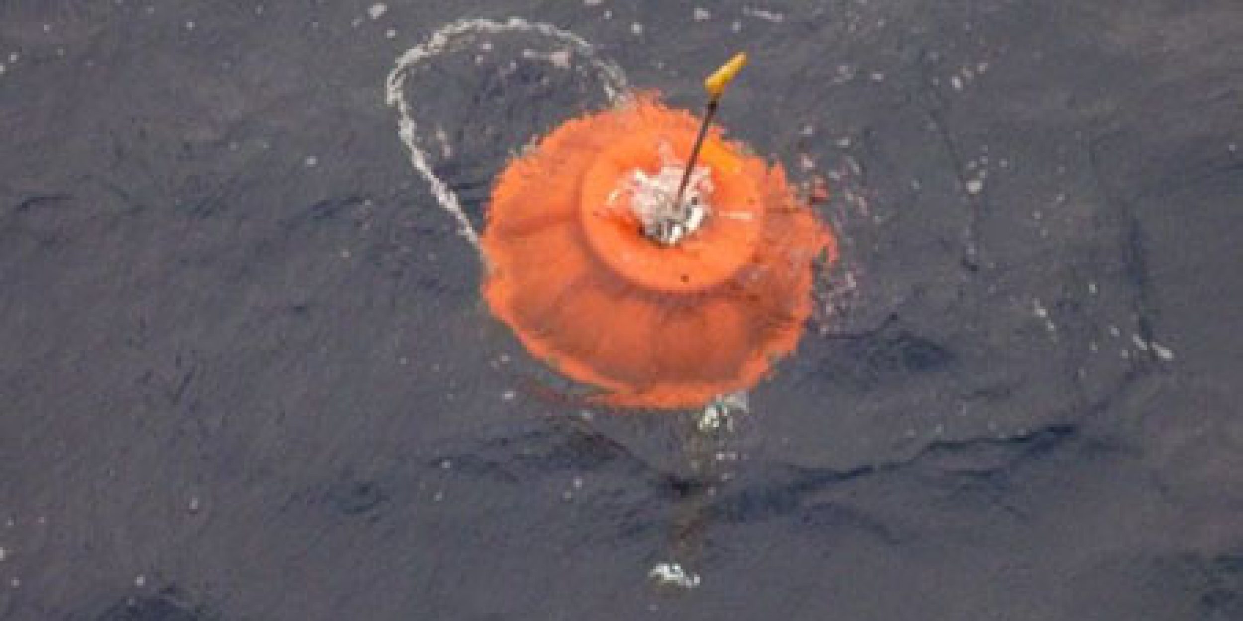
Oceanographers are people that want to find out every aspect of our oceans and are constantly developing new methods to study the ocean. The bottom of the ocean has always been one of the more challenging areas to study due to pressure and available technology. This week two Deep SOLO prototypes were recovered after being in the Pacific for a little more than a year. These prototypes are able to go down to 6000m and send valuable data via satellites to scientists at the Scripps Institution of Oceanography (SIO). This is the first time scientists have been able to have routine data of temperature and salinity at these depths. In the past, these data would be collected by oceanographers on a ship, which can be very limiting. The floats will be sent back to the scientists at Scripps to discover how well the technology survived over the last year and make adjustments for future floats.


The routes that the two Deep Argo floats took over the last year. Each color is a different float with the green dots representing where they were deployed and the red dots are where they were recovered.
Some ask why is it important to know the temperature at the bottom of the ocean?
This is a very good question! Humans in the last century have produced a large amount of greenhouse gases from burning fossil fuels and most of that heat created has been trapped in the upper ocean. Some has been trapped deeper in the ocean but without global, routine measurements, it is hard to determine exactly where this heat is currently. This is where Deep Argo can fill in some missing blanks of information. A continuous array of floats giving regular data several times a month about the deep ocean will help scientists.
The Deep Argo program is an expansion of the Argo program which was introduced almost 17 years ago and has changed what we know about the upper part of the ocean. Argo floats are all over the world and provide continuous data about the upper 2,000m (see picture).


The current number of 2,000m Argo floats and their locations provided by www.argo.ucsd.edu
The Deep Argo program is supported by the Pacific Marine Environmental Laboratory of NOAA and is implemented in cooperation with the Climate Observation Division of the Climate Program Office of NOAA. The Deep Argo development program could not have been possible without international partners (NIWA and the University of Auckland, New Zealand; CSIRO Australia), SIO and Sea-Bird Electronics.


One of the Deep Argo floats deployed in the water. Photo courtesy of LEARNZ.


