Program Update
RISA funds Cross-Team Projects on Flood Risk Management and Hazard Mitigation
In Fiscal Year 2020, RISA funded four projects featuring multiple RISA teams collaborating inter-regionally on either 1) flood risk management in small & medium-sized communities or 2) capacity building for hazard mitigation planners using climate information. The goal is to extend the RISA’s Network capabilities and regional expertise within existing geographies to support priority areas where work across multiple regions will help advance national (or multi-regional) adaptation goals and needs. A total of seven RISA teams are participating in four projects, described below.


FUNDED PROJECTS
RISA Teams: South Central (SCIPP) and Intermountain West (WWA)
Title: Connecting Climate Adaptation and Hazard Mitigation Planning in Climate Discourse-Sensitive Regions: A Cross-RISA Collaborative Project
Topic: Hazard Mitigation Planning
Description: This project expands the SCIPP Simple Planning Tool designed in Oklahoma and Arkansas to Utah and then utilizes the tool to implement action in both regions. The team will work directly with community and state agencies in the planning process most relevant for them

RISA teams: Intermountain West (WWA) and Great Lakes (GLISA)
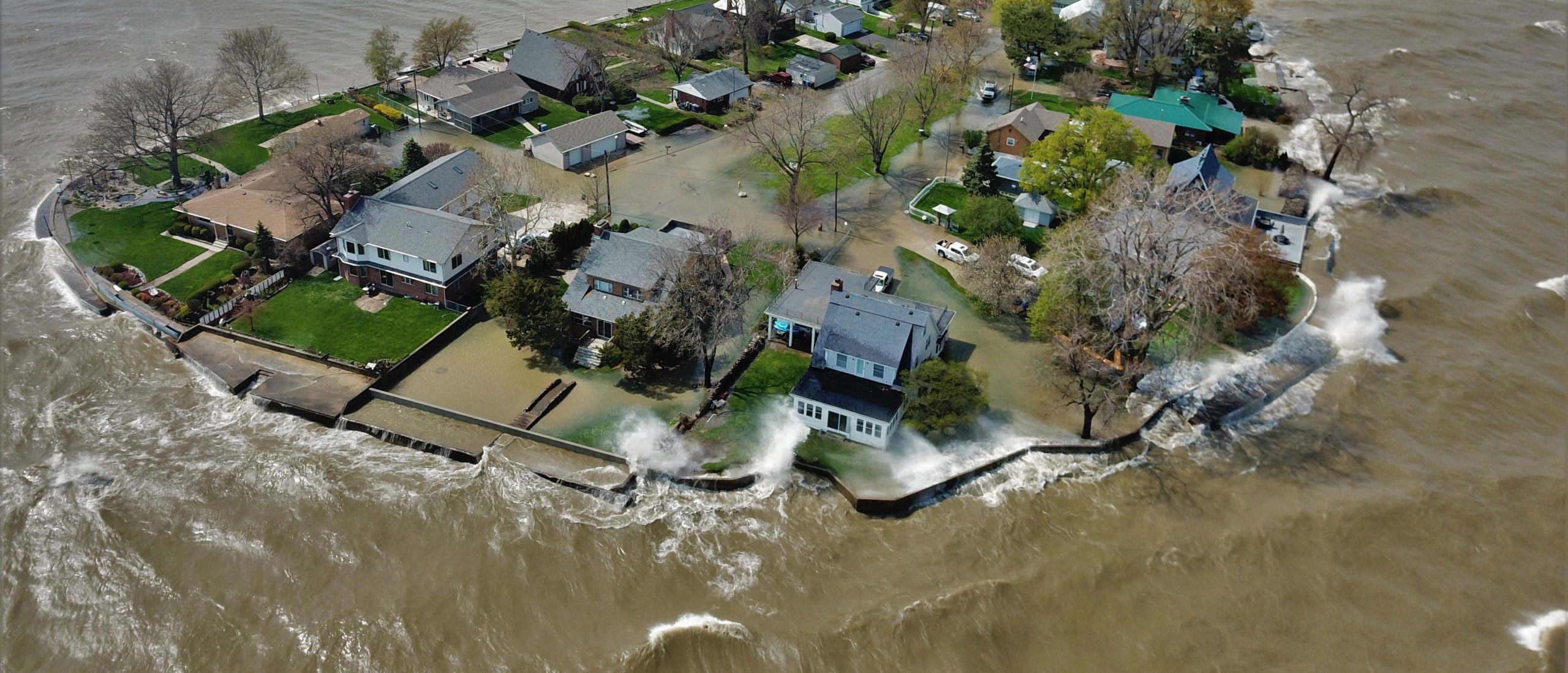
Title: Supporting Flood Planning in the Great Lakes and Intermountain West regions in the context of climate change impact, future growth and migration
Topic: Flood Risk Management
Description: This project pilots a stakeholder-driven flood management tool. It will include spatial models of urban development and place them in the context of flood patterns and socio-political variables in small and mid-size cities in flood prone areas experiencing or expected to experience significant population growth.
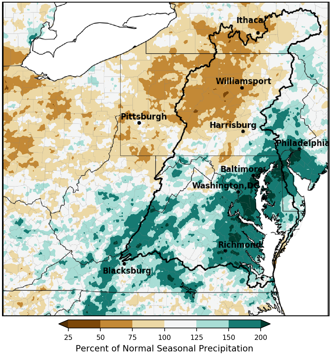

RISA teams: Mid-Atlantic (MARISA), Carolinas (CISA), and Great Lakes (GLISA)
Title: Co-Development of a Nationally Relevant Hazard Mitigation Planning Portal and Visualization Tool: A Partnership with MARISA, CISA, GLISA, and the Urban Sustainability Directors Network (USDN)
Topic: Hazard Mitigation Planning
Description: This project expands the Hazard Planning Portal beyond the Mid-Atlantic to include data for two new regions, the Great Lakes and the Carolinas. The tool is being developed collaboration with the Urban Sustainability Directors Network with direct feedback from users. The project will include development, outreach, and training to both urban and rural communities.

RISA teams: Mid-Atlantic (MARISA), Pacific, and Urban Northeast (CCRUN)
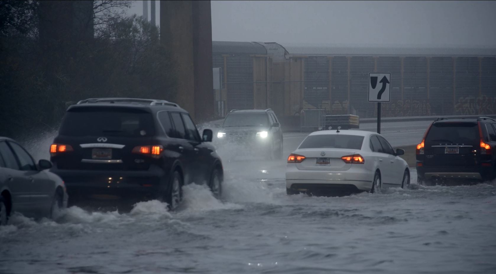
Title: Hazard Assessment and Resilience Building around Flood Risks in Small-Medium Sized Communities
Topic: Flood Risk Management
Description: This project shares expertise on flood risk between urban northeast and Pacific Island communities. This will include a comparison of data and approaches to improve flood risk management. Researchers will generate a precipitation time series and IDF curves for Camden, New Jersey while considering the applicability of these approaches for Kauai, Hawai’i.
RISA TEAMS PARTICIPATING:
- CISA – Carolinas Integrated Sciences and Assessments
- CCRUN – Consortium on Climate Risk in the Urban Northeast
- GLISA – Great Lakes Integrated Sciences and Assessments
- MARISA – Mid-Atlantic Regional Integrated Sciences and Assessments
- Pacific RISA – Pacific Regional Integrated Sciences and Assessments
- SCIPP – Southern Climate Impacts Planning Program
- WWA – Western Water Assessment


