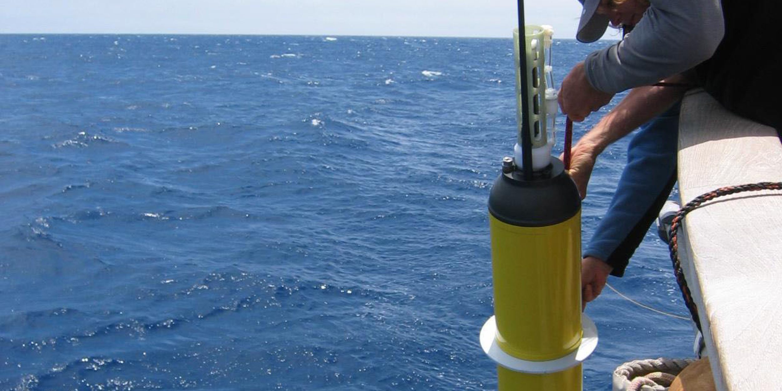

NOAA’s Global Drifter Program maintains a global array of about 1250 surface drifting buoys. These drifting buoys or drifters, primarily tracked by the Argos satellite system, provide observations of near-surface drift at uneven time intervals.
Abstract:
The surface drifting buoys, or drifters, of the Global Drifter Program (GDP) are predominantly tracked by the Argos positioning system, providing drifter locations with O(100 m)$errors at non-uniform temporal intervals, with an average interval of 1.2 hours since January 2005. This dataset is thus a rich and global source of information on high-frequency and small-scale oceanic processes, yet is still relatively understudied because of the challenges associated with its large size and sampling characteristics. A methodology is described to produce a new high-resolution global dataset since 2005, consisting of drifter locations and velocities estimated at hourly intervals, along with their respective errors. Locations and velocities are obtained by modeling locally in time trajectories as a first order polynomial with coefficients obtained by maximizing a likelihood function. This function is derived by modeling the Argos location errors with t location-scale probability distribution functions. The methodology is motivated by analyzing 82 drifters tracked contemporaneously by Argos and by the Global Positioning System, where the latter is assumed to provide true locations.
Learn more: http://onlinelibrary.wiley.com/doi/10.1002/2016JC011716/abstract.


