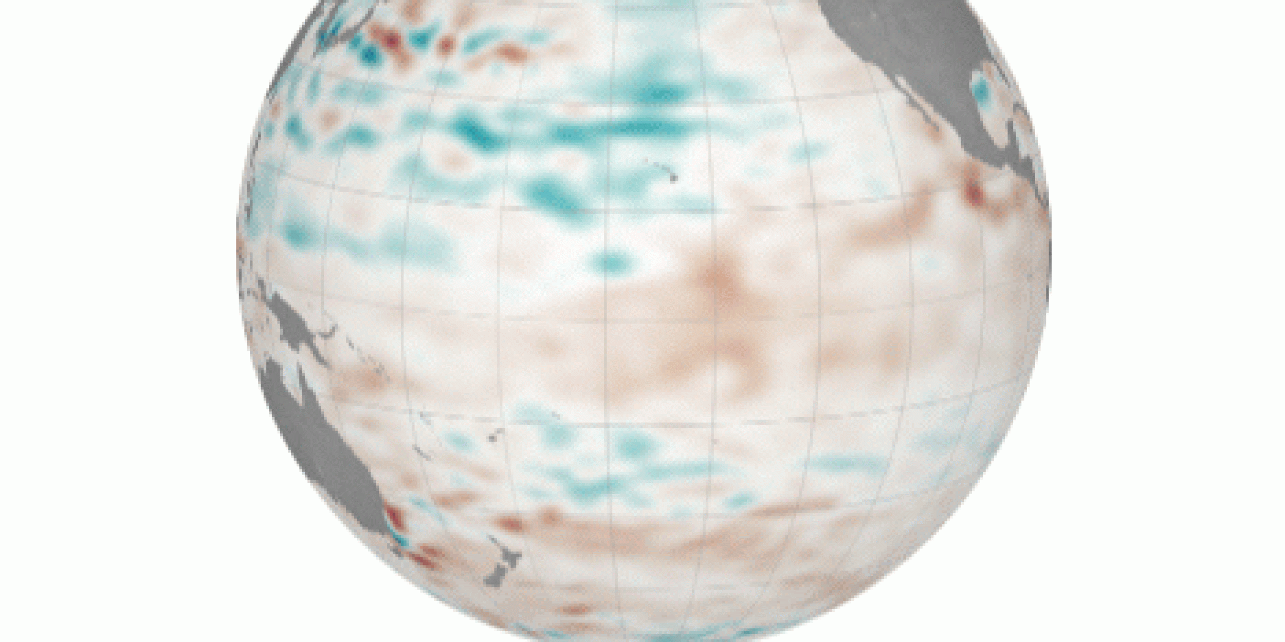
Sea surface height anomalies in the Pacific Ocean
Source: NASA Earth Observatory map by Joshua Stevens, using Jason-2 data provided by Akiko Kayashi and Bill Patzert, NASA/JPL Ocean Surface Topography Team
Following the strong El Niño and weak trade winds in the tropical North Pacific in 2015, Hawaii experienced record breaking high sea levels in 2017. With high water levels beginning in 2016 and peaking during April and August 2017, impacts of these high sea levels included beach erosion, inundation, and failed drainage infrastructure due to saltwater blockage. In addition, during August 2017, the Honolulu Harbor tide gauge recorded the highest monthly average water level since records began in 1905. These record high sea levels were associated with a combination of processes; an important factor being the persistent high sea level (~10cm above normal) over a large region stretching from Hawaii to Mexico. High sea levels are known to occur in Mexico during a strong El Niño as the coastal thermocline deepens (warm water expands, thus causing the surface of the ocean to rise).
According to the Planetary (Rossby) wave theory, sea level anomalies along the eastern Pacific boundary propagate westward, taking 1-2 years to reach Hawaii based on phase speed estimation from satellite altimetry measurements of sea surface height. These measurements are consistent with the 2015 strong El Niño and 2016-2017 record breaking high sea levels in Hawaii. However, sea levels in Hawaii remained near normal following the previous strong El Niño of 1997. The processes associated with the Hawaii sea level rise after an El Niño event have so far remained unknown.
In a new Journal of Climate, authors Xiayou Long, Fabian Schloesser, Hyang Yoon, and MAPP-funded PIs Matthew Widlansky, Philip Thompson, H. Annamalai, and Mark Merrifield analyzed atmosphere-forced ocean model experiments and found that anomalous surface cooling, controlled by variable trade winds, impacts sea level via mixed-layer density, explaining the difference in Hawaiian sea level response after the two recent strong El Niño events. It was also found with climate model projections with greenhouse warming, more frequent weak trade winds following El Niño events are expected. This suggests that the occurrence of high sea levels in Hawaii will increase in relation to greenhouse warming.
———————————————————————————————–
About MAPP
The Modeling, Analysis, Predictions, and Projections (MAPP) Program is a competitive research program in NOAA Research’s Climate Program Office. MAPP’s mission is to enhance the Nation’s and NOAA’s capability to understand, predict, and project variability and long-term changes in Earth’s system and mitigate human and economic impacts. To achieve its mission, MAPP supports foundational research, transition of research to applications, and engagement across other parts of NOAA, among partner agencies, and with the external research community. MAPP plays a crucial role in enabling national preparedness for extreme events like drought and longer-term climate changes. For more information, please visit www.cpo.noaa.gov/MAPP.


