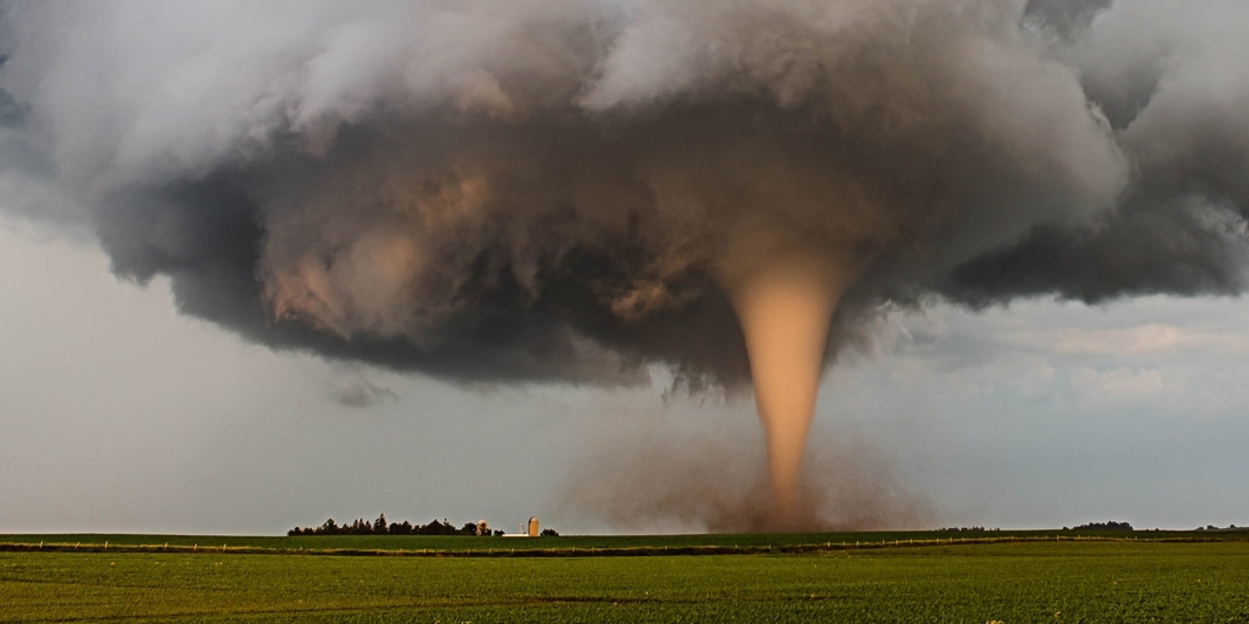
With the United States experiencing the largest number of annual tornado events of any country, it’s critical for atmospheric studies to continue to enhance tornado outlooks and projections for the United States. The National Oceanic and Atmospheric Administration’s Storm Prediction Center (NOAA SPC) provides one to eight-day outlooks for severe weather events. These severe weather outlooks are based on synoptic-scale atmospheric instability (e.g., convective available potential energy; CAPE, low-level wind shear; LLWS, and moisture present in the atmosphere) from numerical weather forecast models and observational datasets. To extend current forecast lead times for tornadogenesis to subseasonal time scales (14-30 days of lead time), several studies have explored a potential link between United States tornado activity and the Madden-Julian oscillation (MJO). The MJO is an eastward moving disturbance with individual phases that impact atmospheric convection, winds, and pressure in the tropics and emanate global disturbances affecting mid-latitude weather. The MJO creates major shifts in tropical weather on weekly and monthly timescales with impacts around the world.
In a new Journal of Climate, authors Dongmin Kim, Sang-Ki Lee, and MAPP-funded PI Hosmay Lopez, investigate the impact of the MJO on U.S. tornadogenesis using atmospheric reanalysis and model experiments. It was found the impact of MJO on U.S. tornadogenesis is most significant in May-June-July and during MJO phases 3-4-5-6. These MJO phases generate large-scale atmospheric conditions conducive for tornadic events in the United States. The main condition being the enhancement of the North American Low-Level Jet (NALLJ) which, in turn, increases the flow of warm moist air from the Gulf of Mexico, increases LLWS, and CAPE for the central region of the United States – also coined “Tornado Alley.”
Although previous studies have demonstrated a strong statistical relationship between MJO and U.S. tornado activity, the MJO- U.S. tornadogenesis relationship has not been fully revealed. In this study, it was found that the MJO-induced U.S. tornadogenesis is most robust in MJJ. The frequency of U.S. tornadogenesis in MJJ increases during MJO phases 3, 4, 5, and 6. During these phases, deep tropical convection is enhanced over the Maritime Continent and suppressed over the northeast Pacific. In contrast, the frequency of U.S. tornadogenesis in MJJ decreases during MJO phases 1, 2, 7, and 8, when the convective atmospheric qualities are nearly opposite to those during the previous phases.
———————————————————————————————–
About MAPP
The Modeling, Analysis, Predictions, and Projections (MAPP) Program is a competitive research program in NOAA Research’s Climate Program Office. MAPP’s mission is to enhance the Nation’s and NOAA’s capability to understand, predict, and project variability and long-term changes in Earth’s system and mitigate human and economic impacts. To achieve its mission, MAPP supports foundational research, transition of research to applications, and engagement across other parts of NOAA, among partner agencies, and with the external research community. MAPP plays a crucial role in enabling national preparedness for extreme events like drought and longer-term climate changes. For more information, please visit www.cpo.noaa.gov/MAPP.


