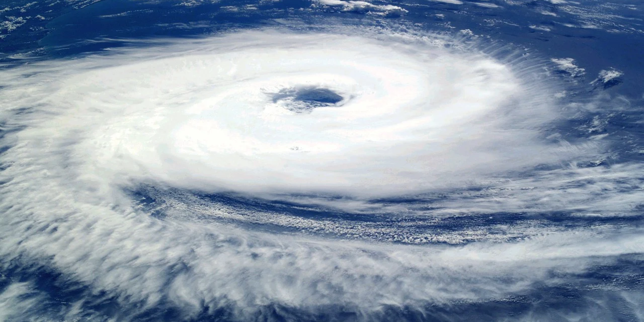
Research supported in part by CPO’s Climate Observations and Monitoring (COM) Program, led by NOAA’s AOML and CIMAS, has developed a new high-resolution dataset of upper-ocean stratification using satellite data that could improve predictions of tropical cyclone intensity. Tropical cyclone formation and intensity is influenced by the amount of heat stored in the upper ocean, which depends on factors such as wind speed and stratification, or how much the warm upper layer of the ocean mixes with the cooler layer underneath. While scientists can, and do, measure ocean stratification through surface measurements of sea surface temperature, salinity, and sea surface height, these measurements are not enough to observe the conditions of ocean stratification in near real-time or across specific areas. The new satellite-based, high-resolution dataset has global coverage over consistent timescales. The authors found that, compared with surface data, the satellite-derived dataset successfully reproduced the large variability of ocean stratification. The study also used the relationship between tropical cyclones and sea surface temperature cooling as a test case to demonstrate the potential application of this new dataset as a near-real-time indicator of tropical cyclone intensity.


Climate Program Office
Advancing scientific understanding of climate, improving society’s ability to plan and respond


Climate Program Office
Advancing scientific understanding of climate, improving society’s ability to plan and respond
Scroll to Top

