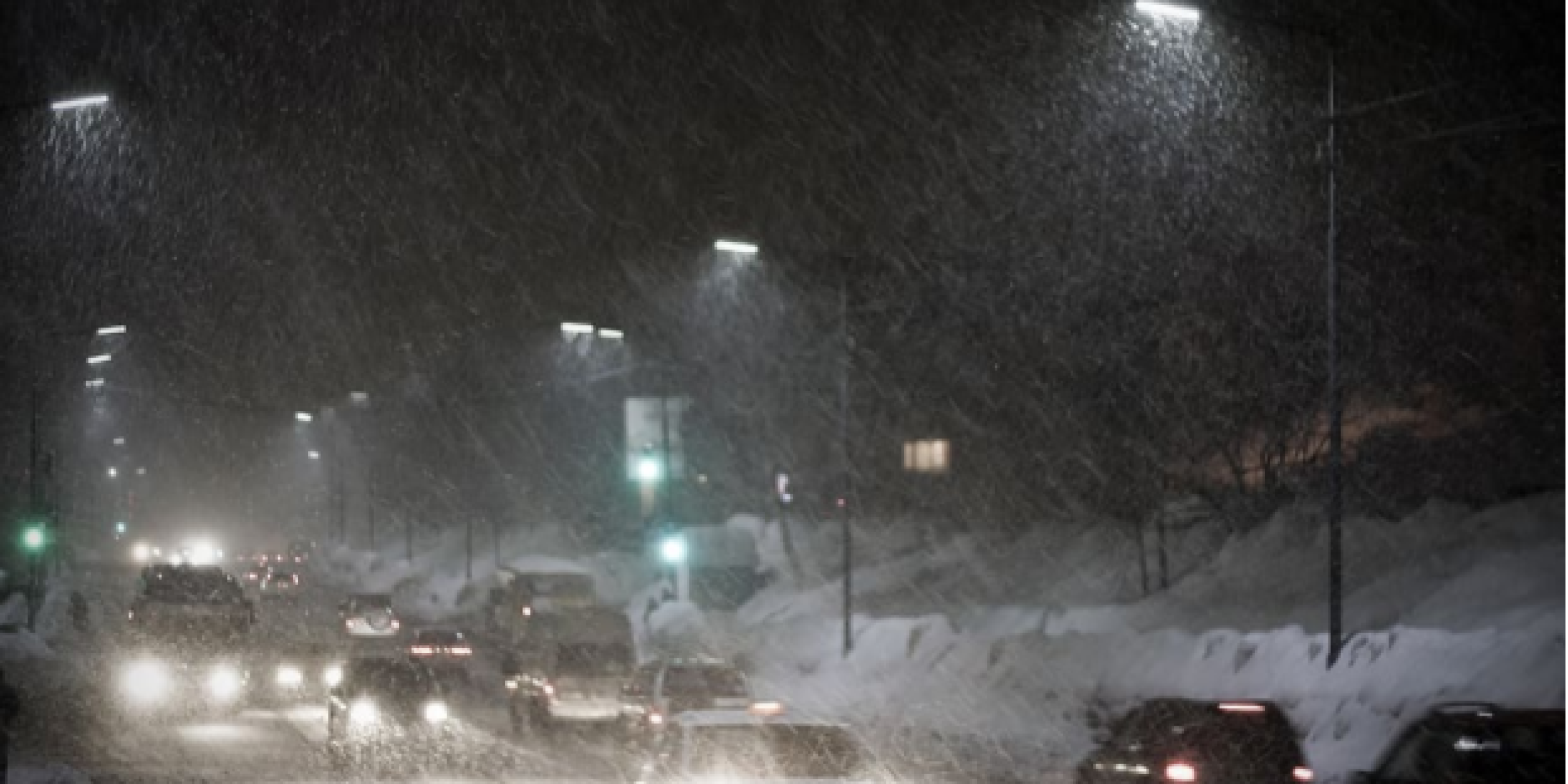
As of February 16th, 70.4% of the United States was covered by snow— an exceptional snow cover extent, unprecedented in NOAA’s modern tracking record. Although this coverage has receded somewhat over the past two weeks, it highlights the unique risk that rainfall on top of existing snow cover can lead to a flooding double-whammy.
A project supported by CPO’s Modeling, Analysis, Predictions, and Projections (MAPP) program is assessing historical and possible future changes in U.S. rain-on-snow flood risk using a new suite of climate models. Led by the University of Colorado and the National Center for Atmospheric Research, the researchers are finding that large differences in risk are expected between the middle and end of this century.
In rain-on-snow events, the snow cover first prevents rain from being absorbed into soil, so it runs off excessively. Second, the rain melts the existing snow pack, leading to additional runoff. These types of rain-on-snow events often lead to many of the largest historic spring floods in many parts of the United States, especially the Missouri and Mississippi basins. In NCEI’s database of billion-dollar flooding disasters, many of the most significant events occur in the late Winter or early Spring due to rain and snowmelt overcoming stream and river channel capacity. These events individually frequently reach $5-10 billion in damages. Decision-makers currently lack critical guidance on rain-on-snow related flood risk, especially in a changed climate.
Early results from the research indicate that the flood risk response is highly variable across the country. Large differences in future rain-on-snow flood risk are expected between the middle of this century, when much of the United States may have elevated flood risk due to more winter rainfall and continued winter snow-cover, and the end-of-century, when flood risk may decline substantially due to snow-cover losses except in localized western mountains where flood risks are elevated. The team pursuing this research is working with other scientists to contribute their results to the National Climate Assessment.
———————————————————————————————–
About MAPP
The Modeling, Analysis, Predictions, and Projections (MAPP) Program is a competitive research program in NOAA Research’s Climate Program Office. MAPP’s mission is to enhance the Nation’s and NOAA’s capability to understand, predict, and project variability and long-term changes in Earth’s system and mitigate human and economic impacts. To achieve its mission, MAPP supports foundational research, transition of research to applications, and engagement across other parts of NOAA, among partner agencies, and with the external research community. MAPP plays a crucial role in enabling national preparedness for extreme events like drought and longer-term climate changes. For more information, please visit www.cpo.noaa.gov/MAPP.


