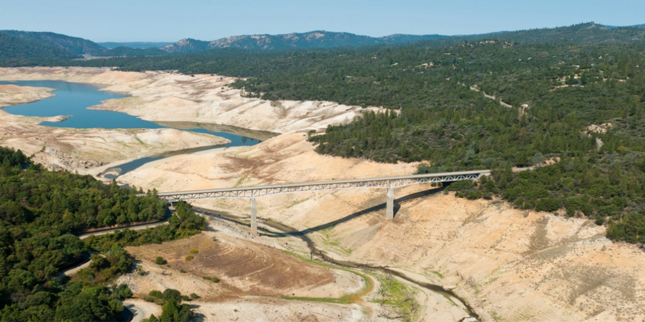
California precipitation is highly variable and poorly forecasted on subseasonal to seasonal timescales, presenting challenges for water resource management. New research, funded in part by the California-Nevada Climate Applications Program, a CPO RISA team, quantifies the role that four North Pacific circulation patterns have on daily coastal water vapor transport and seasonal precipitation in California. Prior research by scientists at the Center for Western Weather and Water Extremes (CW3E) at Scripps/UC San Diego identified four North Pacific circulation patterns affecting the flow of air and moisture onto the coasts. Coastal flows ultimately determine where and how much rain falls across the state of California. In the new study accepted for publication in Geophysical Research Letters, CW3E researchers found that the four patterns account for 25% of the precipitation variance across much of California, and over 50% for some Northern California locations. The circulation patterns tend to stay in one phase within a season. When combined with the El Niño Southern Oscillation (ENSO) phases, this can “stack the deck” on dry and wet patterns. Their findings highlight the importance of the patterns for future study into improved subseasonal to seasonal prediction and better climate modeling. The research was also funded by the Bureau of Reclamation, the Southwest Climate Adaptation Science Center, and the state of California.
Read the early online release »


