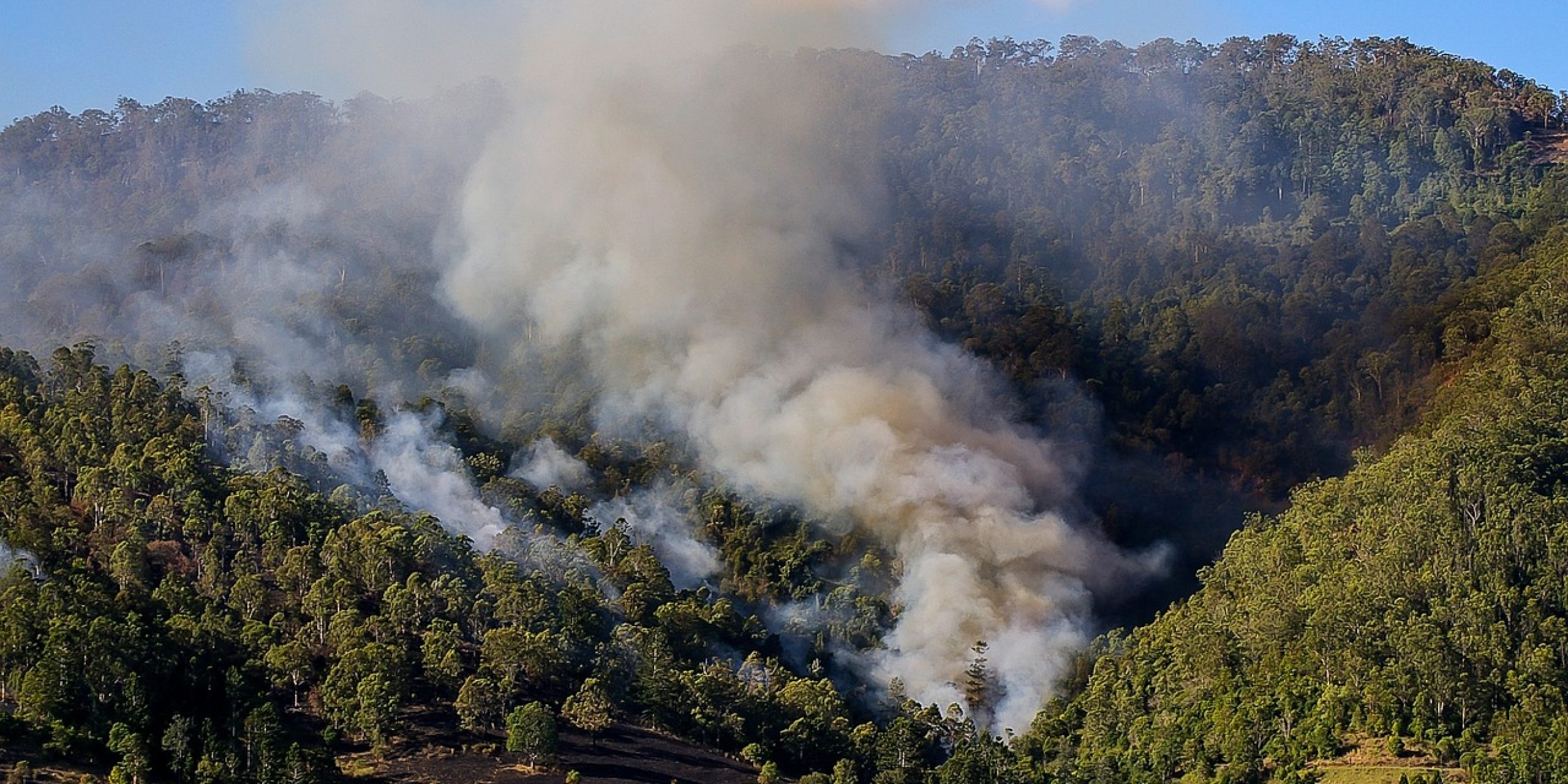
The Climate Program Office’s Atmospheric Chemistry, Carbon Cycle and Climate (AC4) Program funded a new study that explores using weather radar to estimate Fire Radiative Power (FRP), a crucial factor in understanding the impacts of wildfire smoke. Past research has used satellite measurements, and AC4 supported this work to improve smoke and dynamic air quality assessments. AC4-funded scientist Pablo Saide of the University of California, Los Angeles (UCLA) led a research team from UCLA and University of Wisconsin to find out how well weather radar products can characterize wildfire and smoke behavior.
FRP is a measure of the amount of energy a wildfire is radiating. Traditional satellite-based FRP measurements have limitations, often underpredicting wildfire smoke. The results of this study, published in Geophysical Research Letters, found weather radar, can FRP with better certainty. Specifically, weather radar can take better measurements of large debris in the atmosphere from wildfires. The authors demonstrate that radar-based FRP estimates can compensate for gaps in satellite data caused by cloud cover and correct biases during extreme fire events, offering a valuable tool for understanding and predicting the impact of wildfires on the atmosphere.
For more information, contact Clara Deck.
Image credit: Pixabay


