These social media channels regularly promote CPO science and events, as well as Climate.gov publications.
Engagement
Our program meets people where they are through a variety of methods of engagement. In this context, “engagement” is the process of working directly with individuals or organizations to arrive at an understanding or decision through a combination of problem formulation, dialogue, analysis, training, and decision support.
Our engagement strategy is built around the principle that federal resources can better support states when programmatic and financial support are directed such that local communities can directly benefit. To understand and articulate those needs felt at state, regional, and local levels, we work directly with individuals who run or own businesses or who serve municipal, county, regional, or state government roles, for these are the individuals who have responsibilities and resources at risk from a variable and changing climate system.
We developed the U.S. Climate Resilience Toolkit on behalf of the U.S. Global Change Research Program in order to improve our nation’s capacity to adapt to a variable and changing climate. The website provides a central repository of data, tools, resources, expertise, case studies, and the Climate Explorer tool. We have co-produced high resolution maps of urban heat islands in support of the National Integrated Heat Health Information System so that cities can see, understand, and address vulnerability to extreme heat. Each of these is an effort to support Americans where they are in understanding and addressing climate challenges.
In addition, the CEE Division supports business leaders, providing free training through the Association of Climate Change Officers
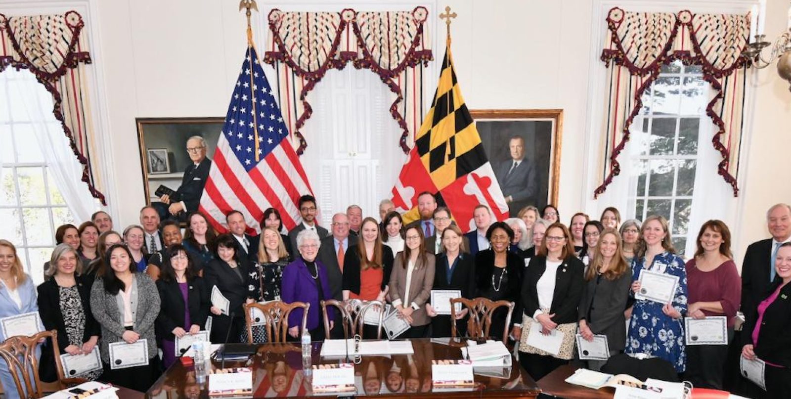

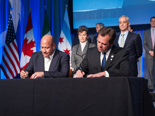
We work directly with mayors who are seeking to adapt to climate variability and change. In 2020, we worked with Geneva, Illinois Mayor Kevin Burns to develop a regional climate action plan in collaboration with the Metropolitan Mayors Caucus, a membership organization of 275 cities, towns, and villages surrounding Chicago, Illinois. In addition to inventorying greenhouse gases and setting a path for reducing emissions, the plan addresses climate adaptation through five objectives and dozens of supporting strategies gleaned from adaptation plans from around the world. The NOAA team facilitated engagements to focus attention and agreement on these strategies and helped produce a forthcoming publication on this plan for broad distribution.
Through late 2019 and early 2020, the CEE team facilitated a series of engagements and contributed to the writing and editing of the State of North Carolina Risk Assessment and Resilience Plan. Our team documented over 270 potential impacts of climate stressors on state resources and services and helped representatives of 10 agencies begin to understand the role of collaboration in reducing those potential impacts. The report included a state-level climate assessment funded by the Climate Program Office and supported by the National Climate Assessment Technical Support Unit.


This site helps communities recognize their exposure to climate hazards, work together to assess vulnerability and risk, and then reduce climate-related risks to the things they care about. The site’s Steps to Resilience framework gives groups a starting point and a path forward to build resilience in almost any sector, from natural resources through the Built Environment.
Climate Explorer
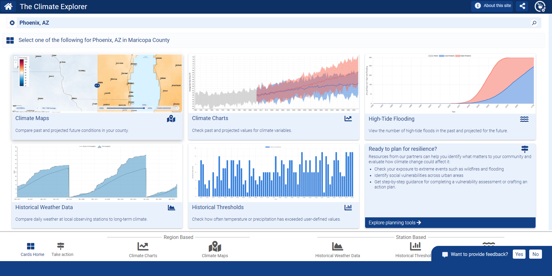

The Steps to Resilience begin with evaluating exposure to climate-related hazards, so we have developed a tool to support that critical step in linking climate information to critical decisions. The Climate Resilience Toolkit’s Climate Explorer tool gives individuals and communities a way to envision how climate conditions in their location are projected to change in the coming decades. Results for every county in the contiguous United States show two possible futures: one where humans significantly reduce emissions of heat-trapping gases over the next decade and one where global emissions continue increasing through the end of this century.
Users can view graphs or maps to see how temperature and precipitation patterns observed in their region in the past are projected to change over the coming decades using data used in the Fourth National Climate Assessment. Graphs of projections for Alaska are also available, and are coming soon for Hawai’i and island territories.

NIHHIS and Urban Heat Island Campaigns
In the United States, extreme heat causes more deaths per year than floods, lightning, tornadoes, hurricanes, or cold weather events. In 2015, the NOAA Climate Program Office and the Centers for Disease Control (CDC) co-founded NIHHIS to improve understanding and reduce impacts of extreme heat events, build capacity in the climate policy and public health policy communities, and develop tools to aid preparation and adaptation. NIHHIS launched an interagency working group including the CDC, FEMA, USDA, and EPA. Learn more about NIHHIS at this larger dedicated webpage and main website.
In summer 2020, NIHHIS launched 13 community science Urban Heat Island mapping field campaigns in cities across the country, working in partnership with the CEE team and CAPA Strategies LLC. The term “urban heat island” refers to the fact that cities tend to get much warmer than their surrounding rural landscapes, particularly during the summer. This temperature difference occurs when cities’ unshaded roads and buildings gain heat during the day and radiate that heat into the surrounding air. As a result, highly developed urban areas can experience mid-afternoon temperatures that are 15°F to 20°F warmer than surrounding, vegetated areas.
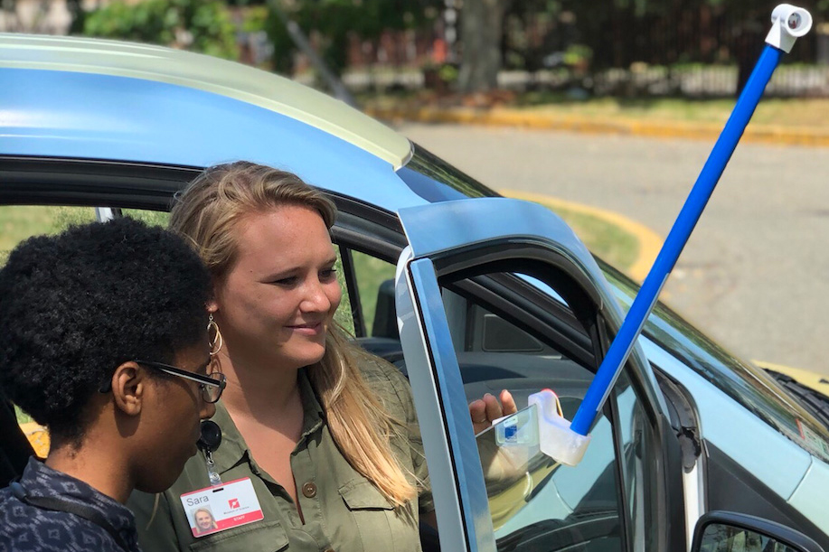

2020 represented the third year running that the Climate Program Office has supported these urban heat island mapping efforts. The inaugural year was funded via an environment literacy grant awarded by NOAA’s Office of Education. The cities in the 2020 cohort were the highest ranked applicants in a competitive process to determine which communities had the greatest need, most promising partnerships, and clearest applications identified for the resulting information:
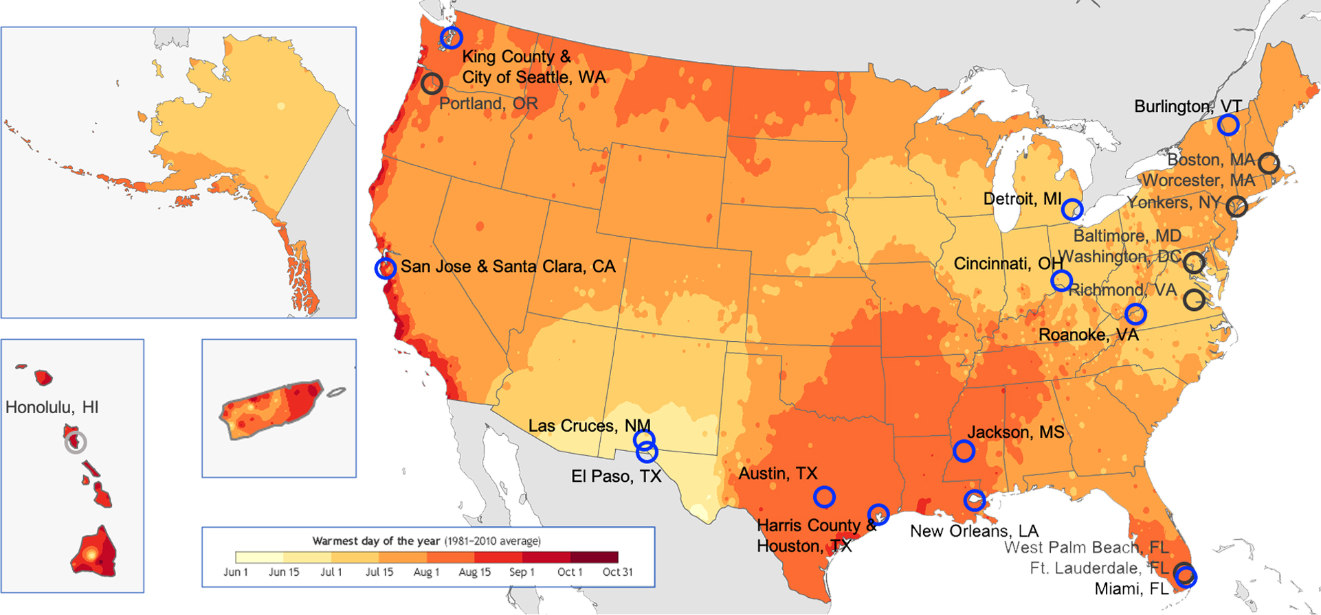

2020 represented the third year running that the Climate Program Office has supported these urban heat island mapping efforts. The inaugural year was funded via an environment literacy grant awarded by NOAA’s Office of Education. The cities in the 2020 cohort were the highest ranked applicants in a competitive process to determine which communities had the greatest need, most promising partnerships, and clearest applications identified for the resulting information:
Partnerships
None of us is as smart as all of us. The division works with partners in NOAA, the federal government, state and local government, academia, and in the private sector to build resilience to climate-related hazards.

The Resilience Ecosystem
The Resilience Ecosystem is an open and inclusive community of public and private entities working individually and collectively to agree on, address, and accelerate climate adaptation & resilience-building across the nation. Self-identified participants met in Spring 2020 to develop:
- A categorization of shared Goals, Gaps, and Opportunities as well as prioritized Focus Areas for investment in climate services and resources;
- A comprehensive list of Building Blocks, which includes resources and services developed and led by workshop participants.
A small set of representative projects have been reviewed and funded through the Coordination and Collaboration in the Resilience Ecosystem (CCRE) grants competition, a partnership between the Climate Resilience Fund and the NOAA Climate Program Office. This funded program complements the NOAA CPO Adaptation Science and RISA programs that fall within the Climate and Societal Interactions Division.
In-Kind Partnerships (Public-Private)
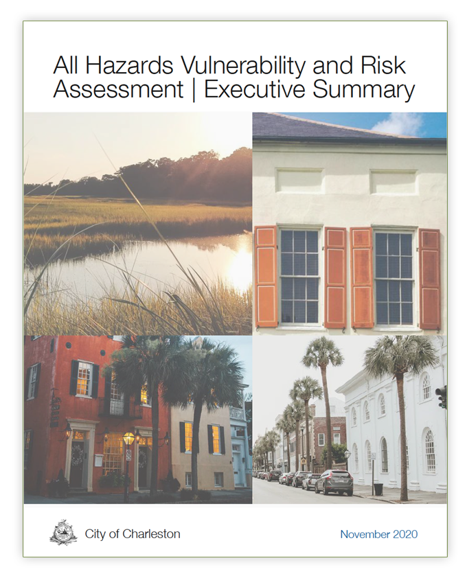
The Engagement Portfolio is built upon formal and informal partnerships with academics, foundations, membership organizations, and professional associations. The U.S. Climate Resilience Toolkit website was built in collaboration with the University of North Carolina-Asheville National Environmental Modeling and Analysis Center (NEMAC) and its spinoff private sector company, Fernleaf Interactive. Those extended team members have been engaged with building resilience in communities around the nation for over a decade, including, most recently, the Charleston All Hazards Vulnerability and Risk Assessment. We host an ongoing webinar series with Antioch University-New England entitled “Weathering Change: Local Solutions for Strong Communities.” As mentioned above, we have helped build the emerging field of adaptation professionals in partnership with the Association of Climate Change Officers. And we continually work with the American Society of Adaptation Professionals to improve national tested practices, networking, and opportunities for incorporating climate data into better decisions.

