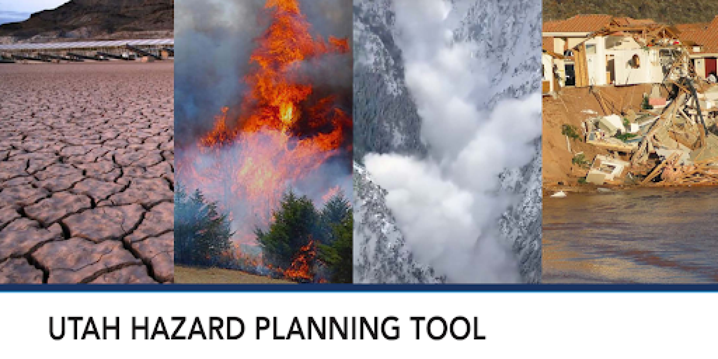
The Western Water Assessment (WWA), a NOAA RISA team, has just released a dashboard to complement the recently published Utah Hazard Planning Tool, which provides resources about the historical incidence, current risk, and future projections of natural hazards in the state. The dashboard is a compilation of online, interactive information tools, maps, and graphics about natural hazards in Utah. The information is specific to Utah, but is relevant to most of the West for information on avalanches, cold temperature extremes, dam failure, debris flow, drought, extreme heat, flooding and heavy rainfall, landslides, wildfire, wind events, and winter storms.
The Utah Hazard Planning Tool was developed by WWA in collaboration with the Southern Climate Impacts Planning Program (SCIPP), a NOAA RISA team. This tool was modeled after The Simple Planning Tool for Oklahoma Climate Hazards which was produced by SCIPP in 2019.
Access the report version of the Utah Hazard Planning Tool »
For more information, contact Genie Bey.


