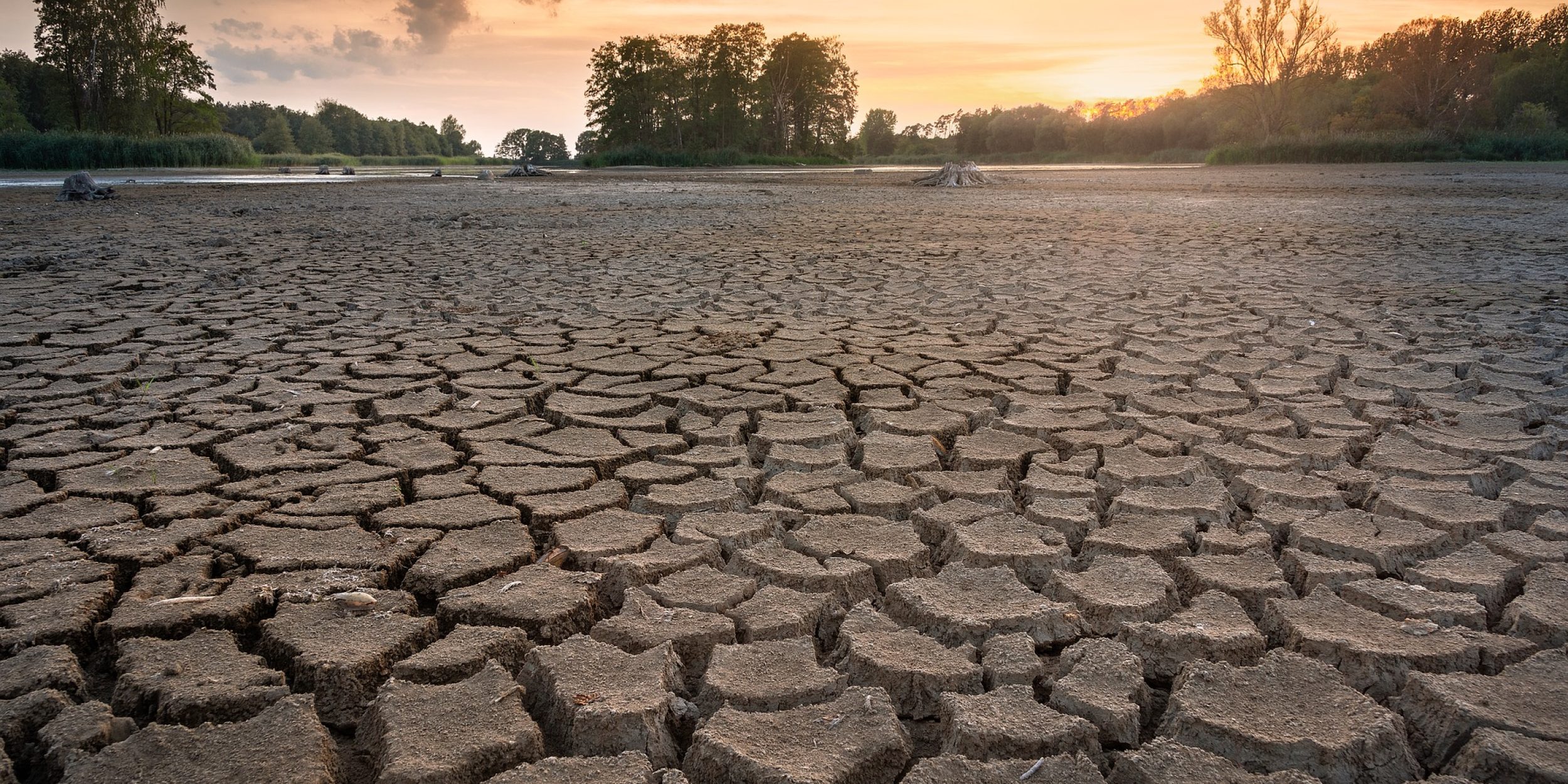
Drought is a natural climate extreme occurring in nearly all climates. Drought is considered to be a complex phenomenon classified into four major types including meteorological, agricultural, hydrological and socioeconomic drought. Among these four types, agricultural drought refers to a period of time with a scarcity in soil moisture which could consequently result in crop failure. With the purpose of monitoring agricultural drought, several indices have been proposed based on a combination of temperature, precipitation, evapotranspiration and soil moisture. In order to improve model predictions, an accurate characterization of the uncertainty in the model state, i.e soil moisture, is critical. With droughts becoming more severe and frequent, it’s imperative for researchers to study and improve drought monitoring.
In a new Journal of Hydrometeorology article, authors Keyhan Gavahi, Peyman Abbaszadeh, Hamid Moradkhani, Xiwu Zhan, and Christopher Hain use remotely sensed soil moisture and evapotranspiration data assimilation to better characterize hydrologic fluxes in the Apalachicola–Chattahoochee–Flint (ACF) Basin located in the Southeast United States. To accomplish this, researchers assimilate two remotely sensed data, Soil Moisture Operational Product System (SMOPS), and MODIS 20 evapotranspiration (MODIS16 ET), at 1-km spatial resolution, into the Variable Infiltration Capacity (VIC) land surface model. In addition, a fully parallelized framework based on model and domain decomposition using a parallel divide-and-conquer algorithm, was implemented.
It was found the model showed improvement in soil moisture predictions by multivariate assimilation of both evapotranspiration and soil moisture. In addition, monthly and weekly drought maps were produced using the root-zone soil moisture percentiles and compared against the US Drought Monitoring System archive maps. The results are consistent with the USDM maps during the winter and spring season but were found to have slightly higher drought severity.
Researcher Chris Hain said about the study “the evolution of drought, especially agricultural drought, is related to a close coupling between soil moisture and evapotranspiration (ET) and understanding how changes in soil moisture affects changes in ET. Therefore, this paper outlines a methodology to improve representation of drought by land surface models by assimilating remote sensing-based retrievals of both soil moisture and ET to provide improved information about this important coupling between soil moisture and ET that can’t be achieved by the assimilation of either in isolation.”
It is noted that additional studies are needed to extend the geospatial scale of the study region and apply this framework over the Southeast US and CONUS. This study was partially funded by the MAPP program.
———————————————————————————————–
About MAPP
The Modeling, Analysis, Predictions, and Projections (MAPP) Program is a competitive research program in NOAA Research’s Climate Program Office. MAPP’s mission is to enhance the Nation’s and NOAA’s capability to understand, predict, and project variability and long-term changes in Earth’s system and mitigate human and economic impacts. To achieve its mission, MAPP supports foundational research, transition of research to applications, and engagement across other parts of NOAA, among partner agencies, and with the external research community. MAPP plays a crucial role in enabling national preparedness for extreme events like drought and longer-term climate changes. For more information, please visit www.cpo.noaa.gov/MAPP.


