A new study published in 

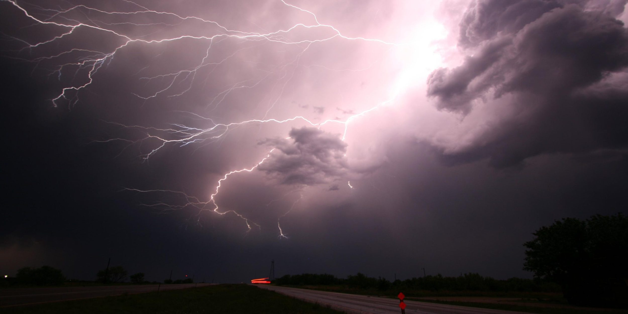
Previous research suggests that the El Niño-Southern Oscillation (ENSO), a natural climate pattern of alternating unusually warm and cold sea surface temperatures in the Pacific Ocean, is linked to extreme weather in the U.S. during the early spring; but researchers from the University of Miami, funded in part by the NOAA Climate Program Office’s Modeling, Analysis, Predictions, and Projections (MAPP) Program, sought to assess what influences the probability of storm activity in the late spring and summer. Eunsil Jung and Ben P. Kirtman used convective available potential energy (CAPE), a measure of atmospheric instability, as an indicator of the likelihood of severe weather occurrence. They analyzed 30 years of CAPE predictions for May through July to evaluate whether and how scientists can accurately forecast late spring and summer atmospheric conditions that are favorable to severe weather activity.


The authors found that ENSO’s influence on the likelihood of severe storms is weak from May through July, but that the Gulf of Mexico’s SST proved to be a strong potential predictor. The warmer the SST in the Gulf of Mexico, the higher the moisture transport and CAPE (and greater likelihood of severe storms) in the US during the late spring and summer months. Jung and Kirtman found this relationship to be the strongest in the Southeast US, especially along the Gulf Coast, Tornado Alley, and in Florida. Given the difficulty of predicting extreme weather in the U.S. and greater ability to forecast the Gulf of Mexico’s SST, these results have the potential to substantially improve seasonal forecasts of late spring and summer severe storm probabilities. Long-range forecasts of probable storm activity could support early emergency preparedness planning to protect at risk communities.
Access the paper: http://iopscience.iop.org/article/10.1088/1748-9326/11/7/074018
Learn more about the MAPP Program: http://cpo.noaa.gov/MAPP


Climate Program Office
Advancing scientific understanding of climate, improving society’s ability to plan and respond


Climate Program Office
Advancing scientific understanding of climate, improving society’s ability to plan and respond
Scroll to Top

