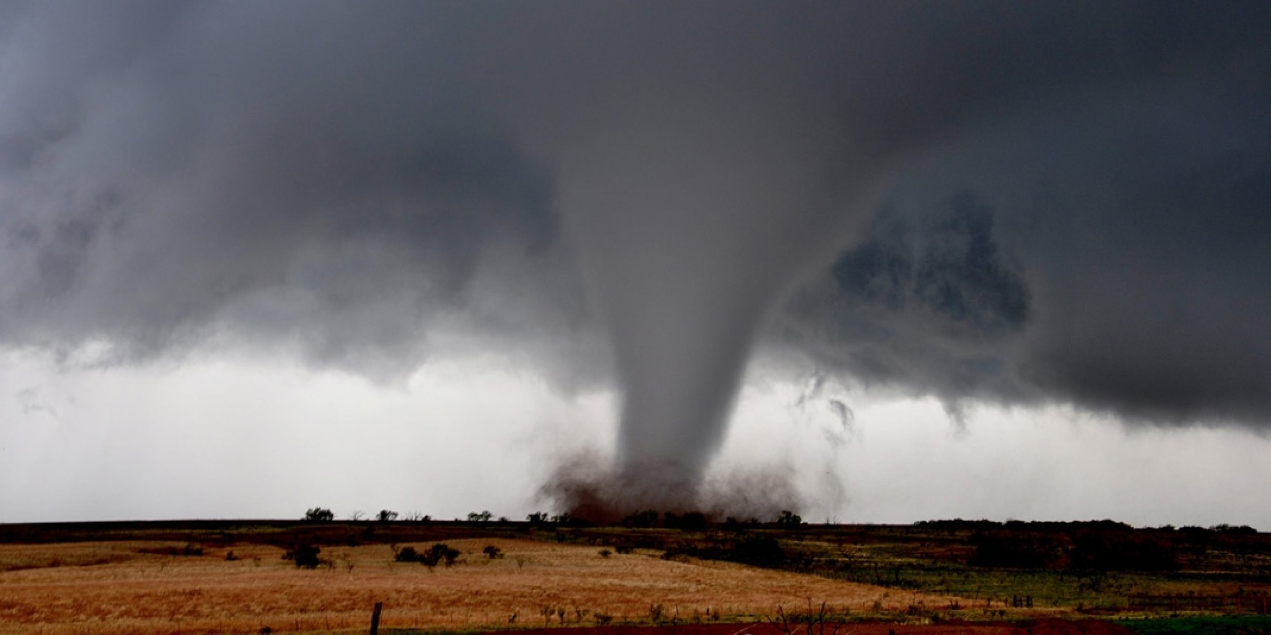
The United States is known as the world’s capital for tornadoes. According to the Storm Prediction Center, during 2009 – 2018, tornadoes in the U.S. claimed 890 lives and caused $20 billion in property and crop damages. With an average of over 1000 tornadoes a year, it’s important to have accurate forecast tools to help save lives and property.
Current operational forecasts for severe thunderstorm and tornado hazards (e.g., convective outlooks) are issued a few days in advance. Yet there is a pressing need for expanding severe weather outlooks beyond the synoptic weather time scale toward subseasonal-to-seasonal time scales. This would provide emergency managers, government officials, businesses, insurers, and the public advance warning of the potential for loss of life and damage to critical infrastructure. Previous studies have advanced our understanding of the large-scale atmosphere, ocean and sea-ice environments conducive to U.S. tornado outbreaks, and show that U.S. tornado activity is directly linked to large-scale regional tornadic environmental parameters (CAPE, Windshear).
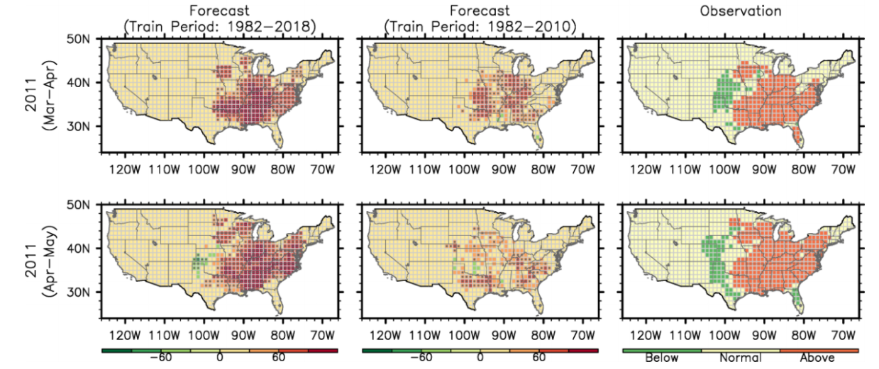
In a new Monthly Weather Review, authors Sang-Ki Lee, Hosmay Lopez, Dongmin Kim, Andrew T. Wittenberg, and Arun Kumar, use an experimental model for Seasonal Probabilistic Outlook for Tornadoes (SPOTter) in the contiguous U.S. for March, April and May. This experimental model uses tornadic environmental parameters (i.e., low-level vertical wind shear and convective available potential energy), derived from the NCEP Coupled Forecast System version 2, as the primary predictors. The initial forecast is carried out in late February for March-April U.S. tornado activity, and then updated in late March for April-May activity.

Probabilistic re-forecast for U.S. regional tornado-scale activity for the below-(indicated by negative values and green shades) and above-normal (indicated by positive values and red shades) categories based on (left panels) full year trained model and (mid panels) the revised regression period (1982-2010), and (right panels) the validation for the 2011 tornado outbreak season for (upper panels) MA and (lower panels) AM. Gray dots in left and mid panels indicate that the re-forecast probability is above 50%.
From this research it was found that that the probabilistic re-forecast is skillful for predicting the above- and below-normal area-averaged activity in the contiguous U.S. for the target months of both March-April and April-May. The forecast model also successfully re-forecasted the 2011 super tornado outbreak season as well as the other three most active U.S. tornado seasons in 1982, 1991 and 2008, and thus may be suitable for an operational use for predicting future active and inactive U.S. tornado seasons. However, additional tests show that the regional re-forecast is skillful for March-April activity only in the Ohio Valley and South, and for April-May activity only in the Southeast and Upper Midwest. These and other limitations of the current model, and the future advances needed to improve the U.S. regional scale tornado forecast are discussed.
Read the full paper here.
Funding for this project was provided in part by the NOAA Climate Program Office, MAPP program.
———————————————————————————————–
About MAPP
The Modeling, Analysis, Predictions, and Projections (MAPP) Program is a competitive research program in NOAA Research’s Climate Program Office. MAPP’s mission is to enhance the Nation’s and NOAA’s capability to understand, predict, and project variability and long-term changes in Earth’s system and mitigate human and economic impacts. To achieve its mission, MAPP supports foundational research, transition of research to applications, and engagement across other parts of NOAA, among partner agencies, and with the external research community. MAPP plays a crucial role in enabling national preparedness for extreme events like drought and longer-term climate changes. For more information, please visit www.cpo.noaa.gov/MAPP.


