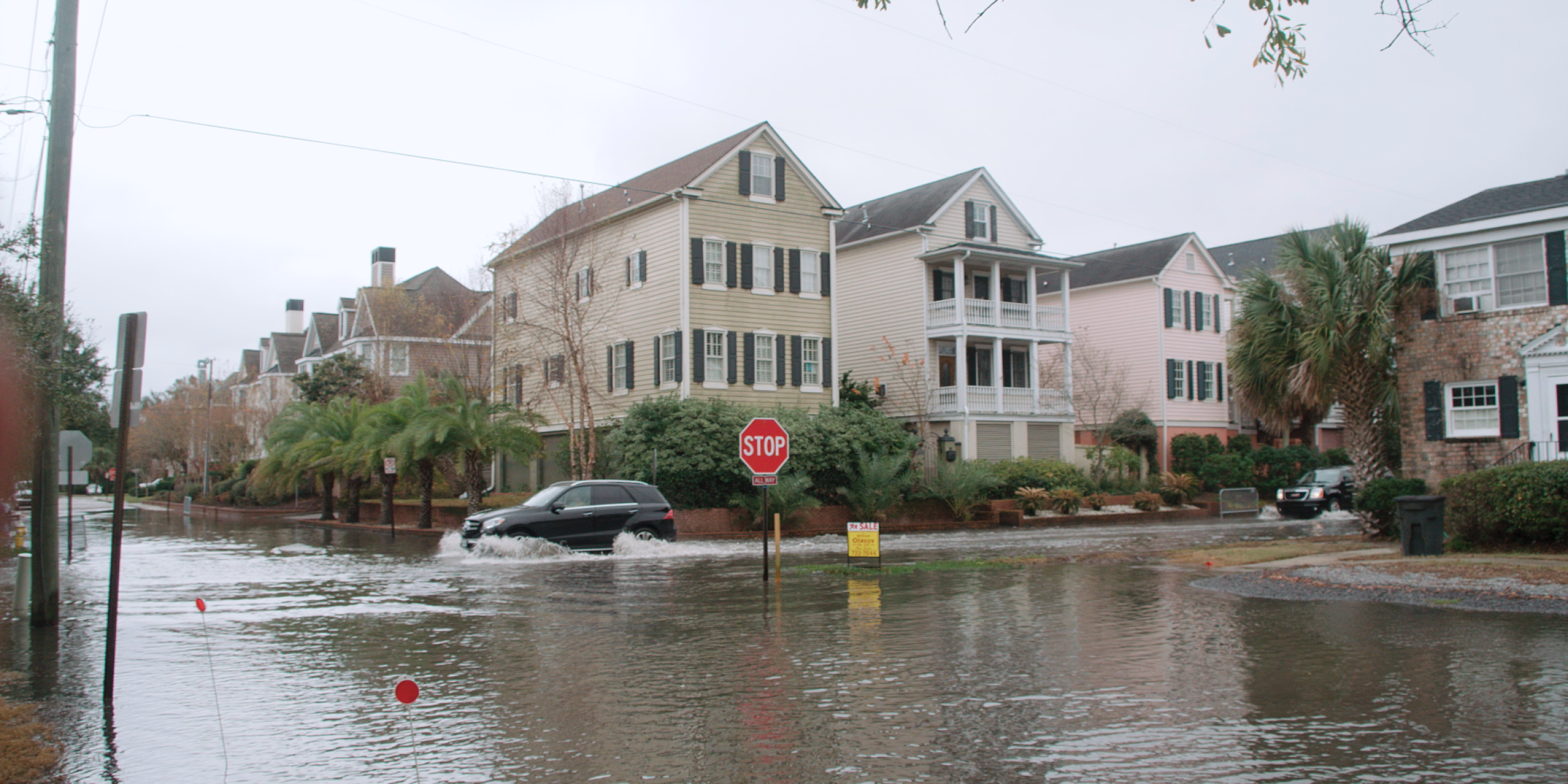
NOAA: Water in the streets during a high tide event on a storm-free day in Charleston, SC
A new study funded by CPO’s MAPP Program shows significant potential in using atmospheric patterns to forecast coastal flooding. Coastal flooding is becoming an increasing concern as sea level continues to rise. Beyond extreme precipitation events, flooding often occurs without rainfall during high tide events, when certain atmospheric patterns synergize to produce high sea levels.
In a new Journal of Geophysical Research: Oceans article, authors Erik Smith, Ryan Adams and MAPP-funded PI’s Scott Sheridan, Cameron Lee, Douglas Pirhalla, and Varis Ransibrahmanakul, evaluated the relationship between atmospheric circulation patterns and coastal sea level values from all oceanic tidal gauges in the contiguous United States from the period 1979-2016. They found that atmospheric conditions including sea level pressure, 10-m wind, 850-mb temperature, and 700-mb geopotential height can be used to successfully model abnormal sea level. For next steps, the authors plan to evaluate whether their results can help produce prospective flood forecasts beyond the weather timescales.
——————————————————————————
About MAPP
The Modeling, Analysis, Predictions, and Projections (MAPP) Program is a competitive research program in NOAA Research’s Climate Program Office. MAPP’s mission is to enhance the Nation’s and NOAA’s capability to understand, predict, and project variability and long-term changes in Earth’s system and mitigate human and economic impacts. To achieve its mission, MAPP supports foundational research, transition of research to applications, and engagement across other parts of NOAA, among partner agencies, and with the external research community. MAPP plays a crucial role in enabling national preparedness for extreme events like drought and longer-term climate changes.
For more information, please visit www.cpo.noaa.gov/MAPP.


