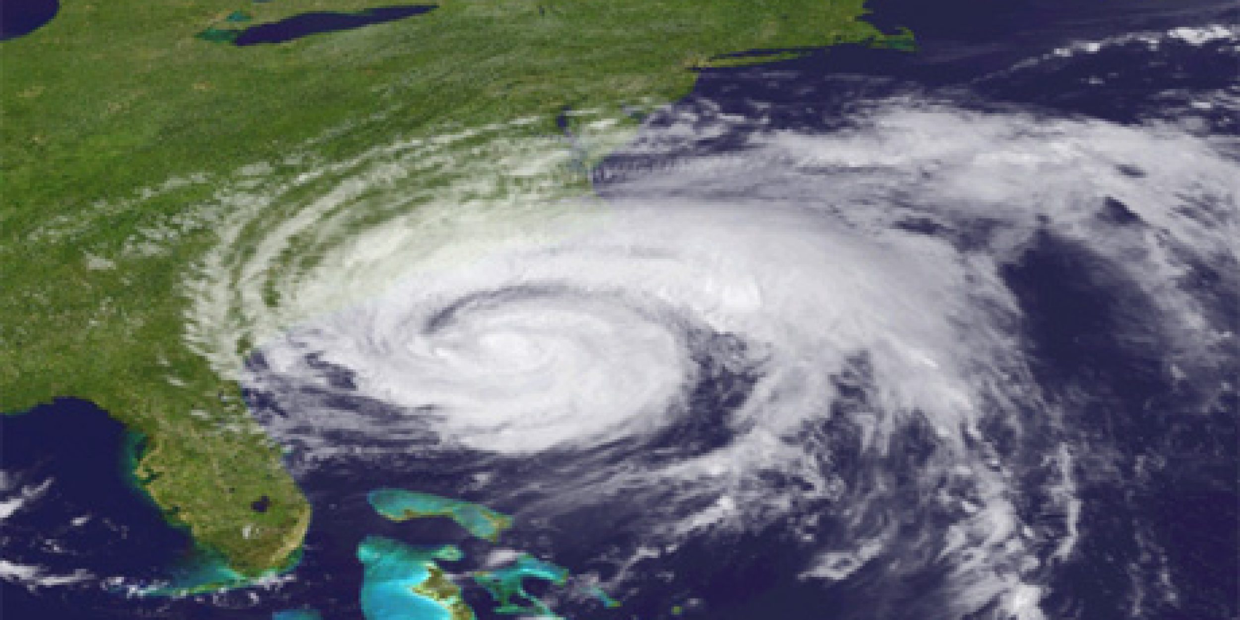
Tropical storms like 2011’s Hurricane Irene experienced cooling in the coastal surface waters ahead of the eye of the hurricane, which reduced storm intensity, according to a CPO-funded study by Rutgers’ University Professor Scott Glenn and partners published in Nature Communications.
During the past two decades, hurricane tracking, prediction, and preparedness modeling have improved greatly, even contributing to a decline in hurricane-related fatalities. In this study, Glenn et. al. indicate that despite this progress, hurricane-tracking approaches are lagging.
The trajectory of Hurricane Irene resulted in damages that cost the United States billions of dollars. After analyzing buoy data from Irene and similar tropical storms from the past 30 years, many storms exhibited similar reductions in intensity linked to cooling temperatures ahead of the eye of the hurricane of coastal waters.


So how does cooling affect hurricanes? According to the report, the winds occurring ahead of the eye create circulation resistance that limits the storm surge and causes shearing across the thermocline. This shearing causes cold deep water and warmer surface water to mix. The resulting ocean cooling reduces surface heat to the atmosphere, decreasing the strength of the storm.
The predictions of Irene provided ample time for coastal evacuation. However due to the ahead-of-eye cooling, the maximum wind speeds of Irene were overestimated, which neglected preparation for inland flooding from the heavy rainfall that caused the most damage, said the authors. Despite evacuation efforts, Hurricane Irene has been classified as the eighth costliest cyclone to impact the United States in more than 100 years, costing roughly $16 billion and resulting in over 50 deaths.
National Data Buoy Center data recorded that at Irene’s peak wind speeds, water temperatures dropped between approximately 4 and 6 degrees Celsius more than 150 km ahead of the eye of the hurricane.


Similar events have occurred over the past 30 years, representing an important development in the understanding of hurricane behavior. The report emphasizes that buoy data from 1985 to 2015 shows that ahead-of-eye cooling occurred beneath all 11 tropical cyclones that formed and made its course along the Mid-Atlantic Bight continental shelf during hurricane season.
The scientists found the same phenomenon in the Pacific. A Yellow Sea buoy indicated similar ahead-of-eye cooling during 2011’s Typhoon Muifa. Super Typhoon Muifa made landfall in the Philippines. It was also mispredicted and sea surface temperature maps showed that the storm experienced up to 7 degrees Celsius of cooling.
The report highlights the importance of effective storm modeling to better prepare communities for the effects of hurricanes, tropical storms, and typhoons. Changes in sea surface temperature of as little as 1 degree Celsius can impact storm intensity, said the report. To improve modeling predictions, the authors recommended including realistic coastal baroclinic processes.
For more than 30 years, the strength of tropical storms has moved poleward (i.e. North Carolina to Massachusetts for Irene). According to the report, hurricane intensities in the North Atlantic have increased since the early 1980s and will continue to intensify due to the warming climate. Prevention through improved forecasting of like storm intensity over stratified coastal areas is necessary in making communities resilient to the impact of tropical storms.
This report was led by Rutgers’ University, collaborated with the National Weather Service and National Ocean Service, and funded by the Climate Observation Division of the National Oceanic and Atmospheric Administration.
To access the full report, visit Nature Communications.
To view the press release on the report, visit Rutgers’ University.


