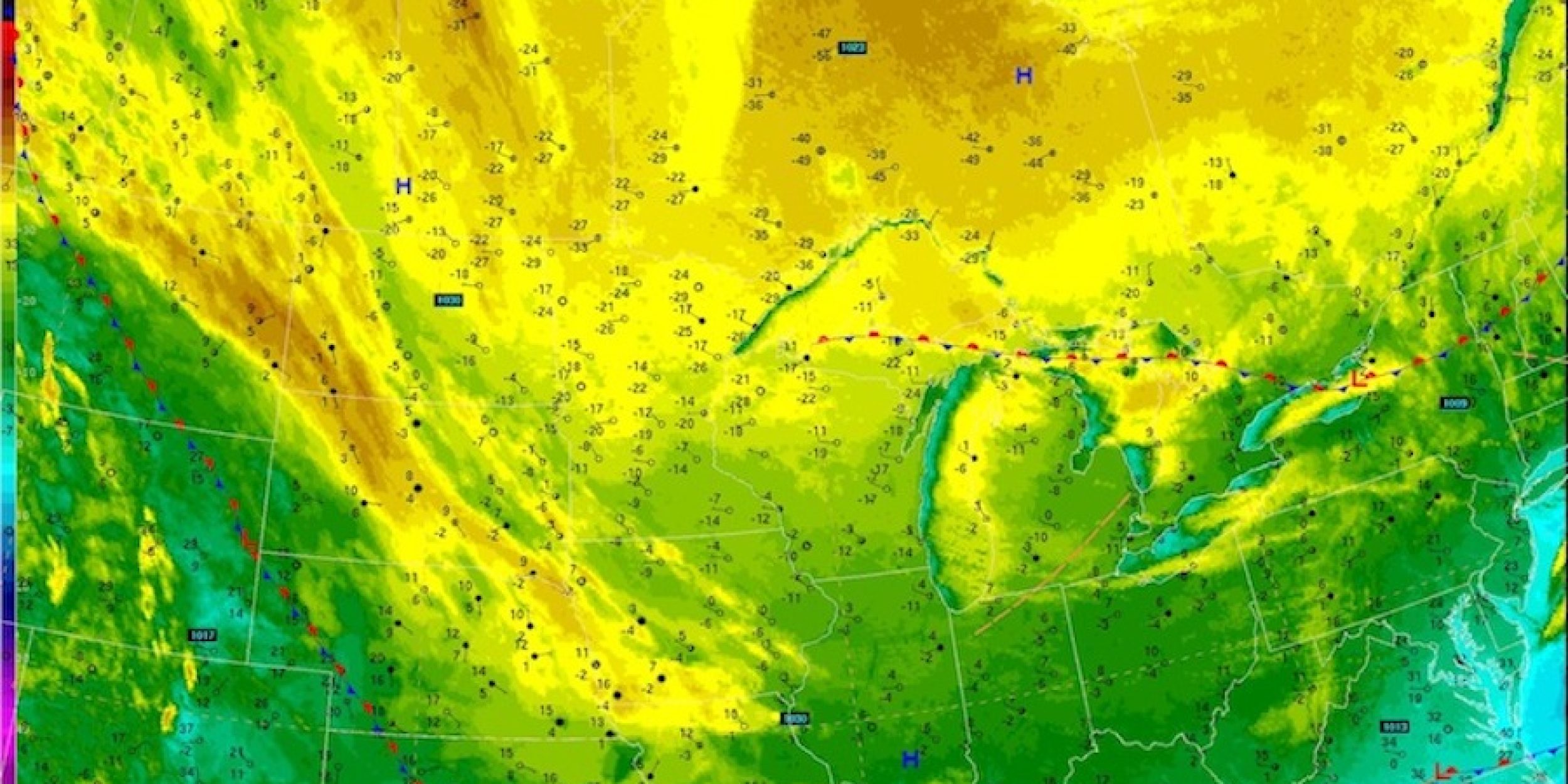

Infrared satellite image as of Tuesday morning, Jan. 22. The yellow shading in southern Canada and the northern U.S. indicates very cold air. Credit: NOAA
An article on ClimateCentral.org discusses whether there is a tropical link to the frigid air gripping a big part of the United States. The article mentions a study published in the journal Climate Dynamics in 2012, in which Michelle L’Heureux and her colleagues found that when the Madden-Julian Ocillation is located in a particular phase, it can favor more cold air outbreaks over the eastern U.S.
The MJO is associated with a pattern of tropical rainfall that moves eastward along the equator, going around the world in about 30-to-60 days. Because the MJO influences atmospheric heating through tropical rainfall, it can modify weather patterns far away from the equator. L’Heureux, a climate scientist at the NOAA Climate Prediction Center, has been studying ways to use the status of the MJO to predict large-scale weather patterns beyond a two-week lead time, when forecasts using current techniques tend to diminish.
The recent study was supported by the Modeling, Analysis, Predictions & Projections (MAPP) Program as part of the partnership with the National Centers for Environmental Prediction (NCEP) Climate Test Bed.


