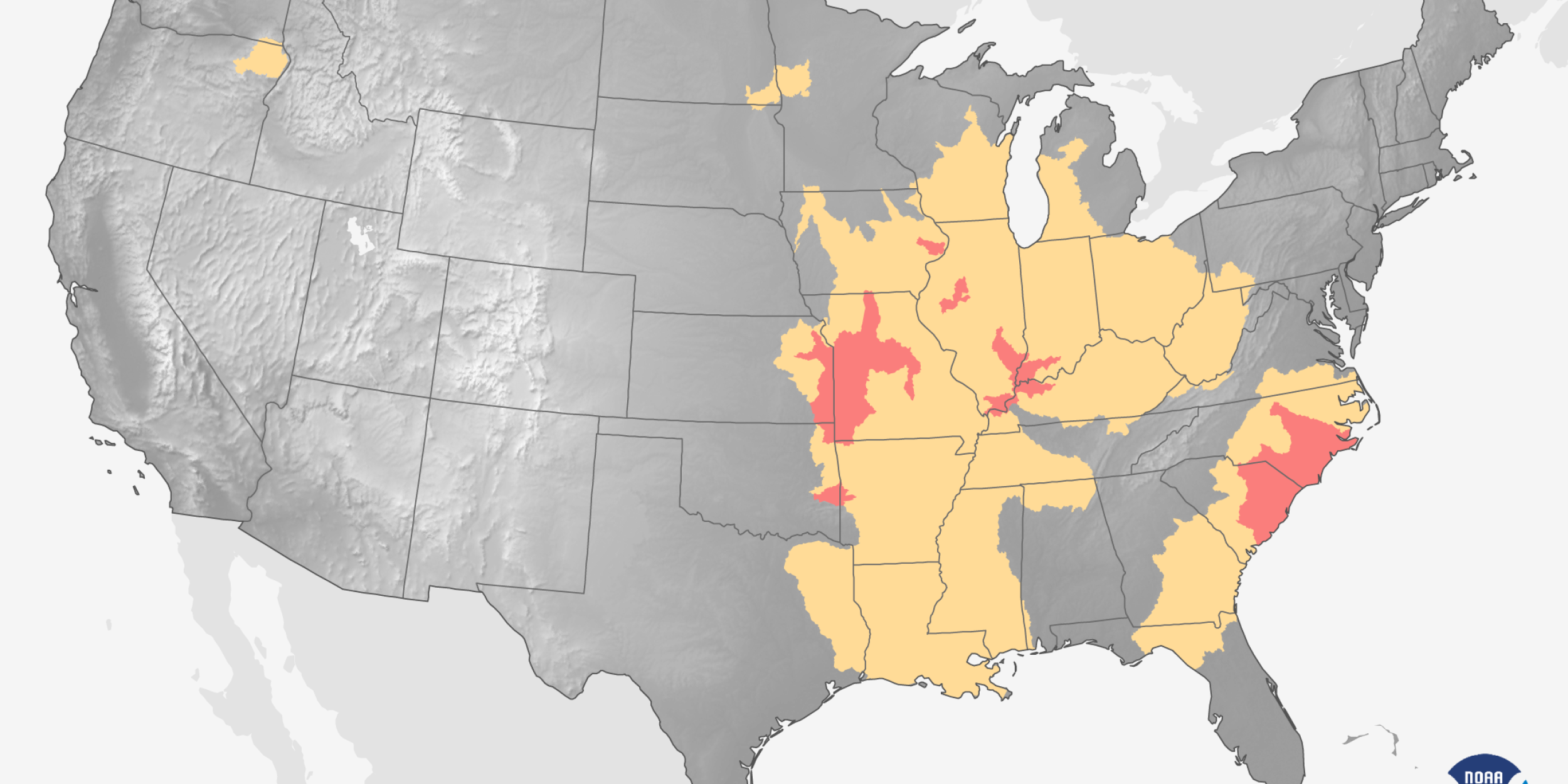
The Climate.gov team will be producing a suite of public-friendly maps to support the March 17 release of the NWS spring flood and climate outlook. The spring outlooks are for the months of March through May and are based primarily on dynamical model guidance, trends, and ENSO composites. The flood outlook map also incorporates ground conditions, snow coverage/depth, etc. These maps will be used in the NOAA press release and are to be incorporated into a short video for distribution on social media.
Climate.gov materials will support NWS/CPC spring outlook


