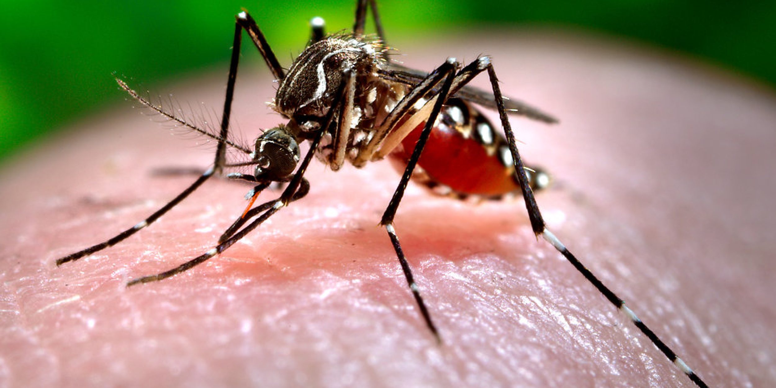

Aedes aegypti mosquito, one of the primary vectors for chikungunya transmission around the world. Credit: James Gathany (Centers for Disease Control):
On Wednesday, October 2nd from 10-11am, CPO’s International Research and Applications Project (IRAP) hosted a seminar/webinar about a global forecasting app system that maps areas at risk for chikungunya concurrently and 1 to 3 months ahead. Supported by IRAP in partnership with the Department of Defense (DoD), the project is producing monthly risk maps, based on climate observations, and forecast risk maps based on NOAA’s North American Multi-Model Ensemble temperature and rainfall seasonal forecasts. Recent chikungunya epidemics in the Americas (2013-2016), for example, have demonstrated the potential for global spread and have been associated with variations in climate variables like rainfall and temperature. Presented by Dr. Assaf Anyamba, the seminar showed how massive amounts of climate datasets combined with publicly available outbreak information using machine learning methods, can address an issue of public health concern. This global forecasting app system provides a template that can be employed in the immediate and near future to develop applications relevant to other vector-borne and ecologically coupled diseases. The project is aimed at supporting DoD’s Force Health Protection (FHP) mission, regions of the U.S. at risk (Texas and Florida) and international public health agencies (including the World Health Organization, PAHO).
Miss the webinar? Check out the recording:


