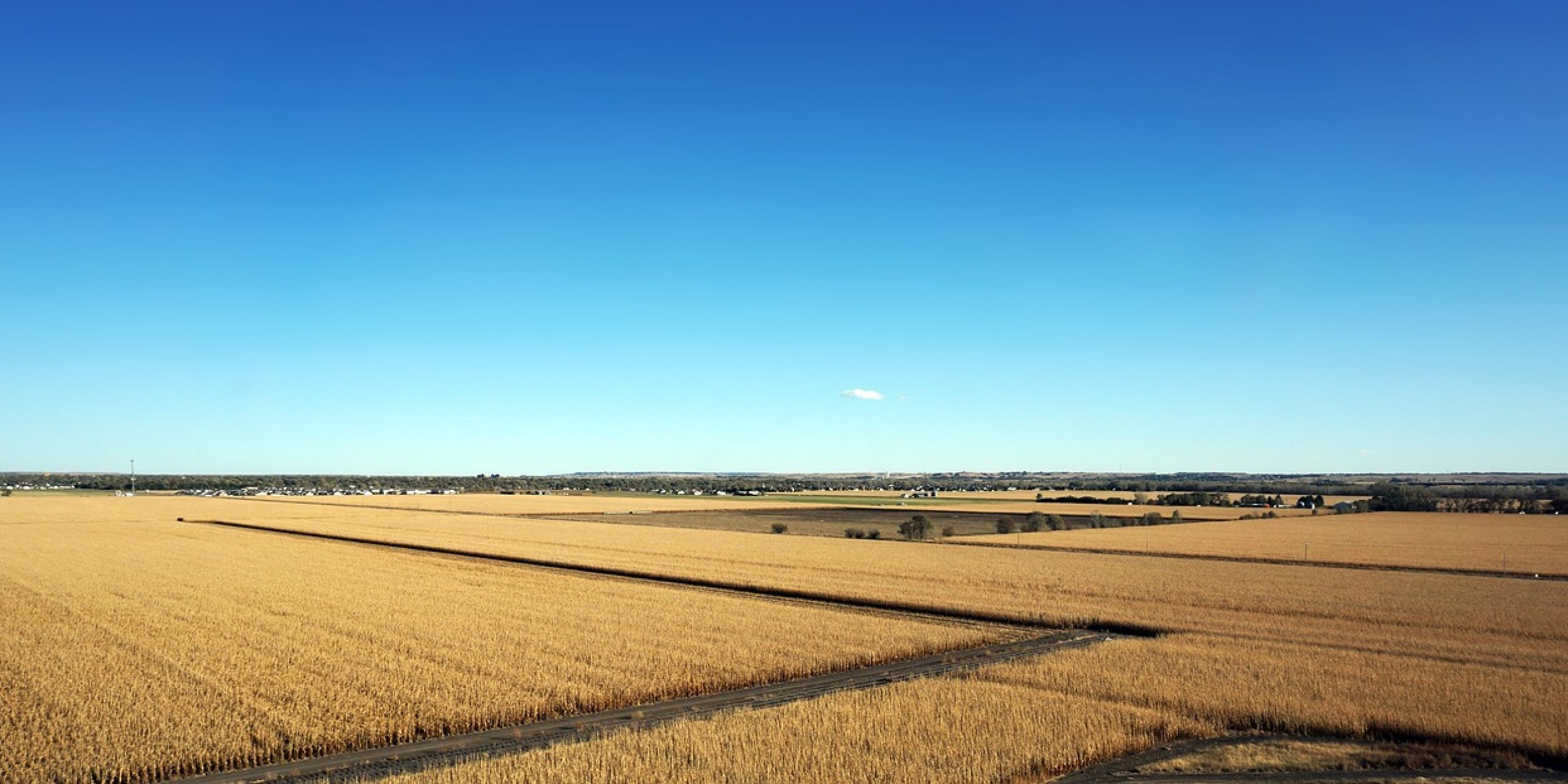
A new study supported by the Climate Program Office’s Climate Observations and Monitoring (COM) Program takes a close look at the aquifer depletion and extensive groundwater irrigation in the Northern High Plains region, comprising parts of Nebraska, Colorado, and Kansas. Through a grant awarded to Arizona State University, this work contributes to a COM initiative to develop critical surface datasets with both observations and modeling.
Scientists measure the amount of water used by crops as the rate of evapotranspiration or ET, representing liquid water moving from the soil, through plants, then to the atmosphere in vapor form. ET is a connection between land surface energy and water budgets, driven by both climatic and anthropogenic forcings. The impacts of irrigation on ET in the High Plains are not well documented, so this study uses climate and water table observations starting from 1940 to compare ET patterns from before and after 1975, a year that marks an increase in groundwater pumping in the area. The results, published in Water Resources Research, demonstrate that ET has increased, on average, since 1975, with the majority of the trend attributed to groundwater pumping. The authors also show that the spatial pattern of ET followed a clear east-to-west gradient aligned with the terrain before 1975, which has been significantly disrupted by irrigation activities since that time. This research highlights the instability of water resources in the High Plains, pointing out that actions like pumping regulations or financial incentives for sustainable water use may help return the system to a more balanced state.
For more information, contact Clara Deck.
Image credit: Pixabay


