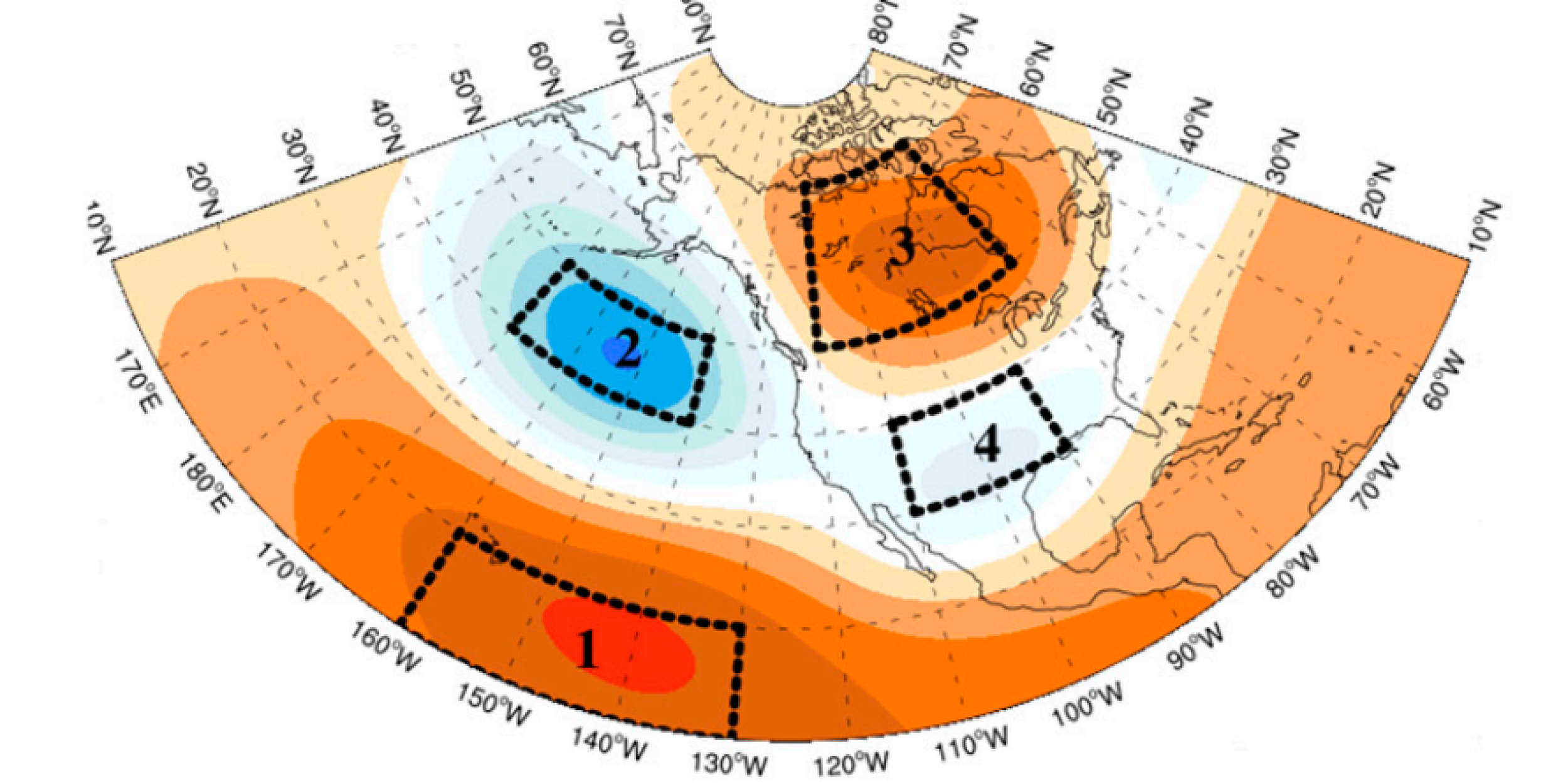
Hurricanes, droughts, floods, and severe weather in the United States are all driven by what’s going on in the Equatorial Pacific Ocean — whether it is warmer, as in El Nino conditions; cooler, as in La Nina conditions; or normal. The sea surface temperatures (SSTs) in this region can either add heat to (El Nino) or remove heat from (La Nina) the atmosphere altering global weather patterns. But the connection between the remote behavior of equatorial Pacific SSTs and the weather and climate experienced 4,000 miles away in the United States is driven by a long chain of ocean-to-atmosphere links that climate models do not always capture.
A research team funded by CPO’s Modeling, Analysis, Predictions, and Projections program, working with OAR’s Geophysical Fluid Dynamics Laboratory (GFDL) has delivered to NOAA a set of model diagnostics that can be used during the model development process to evaluate whether GFDL’s models are capturing the set of bridges and relationships that connect these remote SST’s to what’s going on in the atmosphere over the United States.
The team has developed, demonstrated, and transitioned a number of metrics that describe critical processes along this North Pacific pathway that can be used to examine the progress in climate model skill. In the future, these models could benefit significantly from using these metrics with the end goal of much improved predictions of El Niño–related variability.
For more information, contact Daniel Barrie.
Image credit: American Meteorological Society


