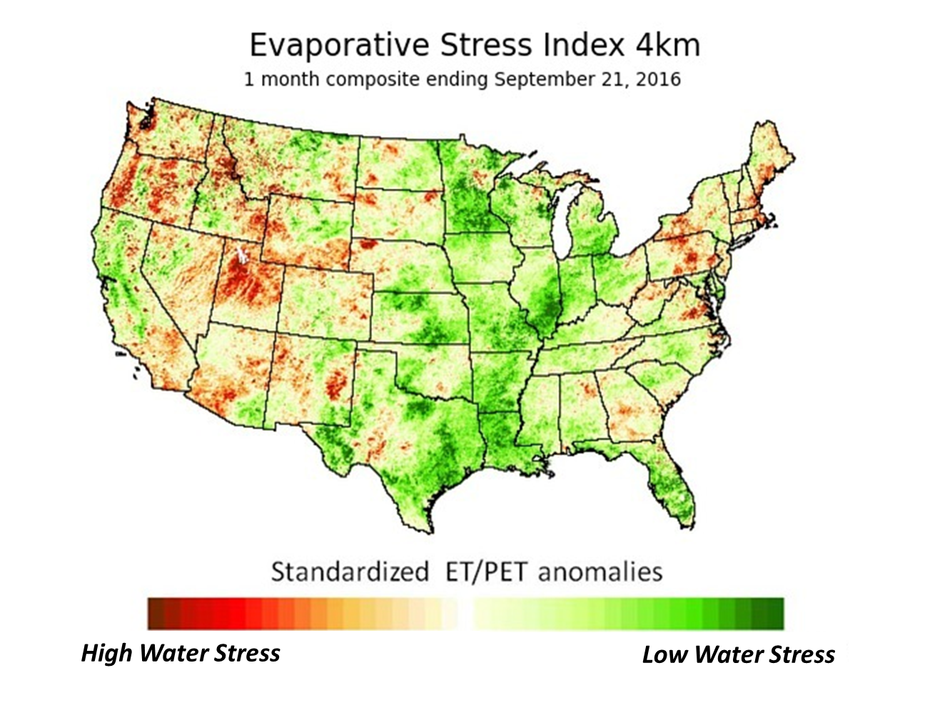
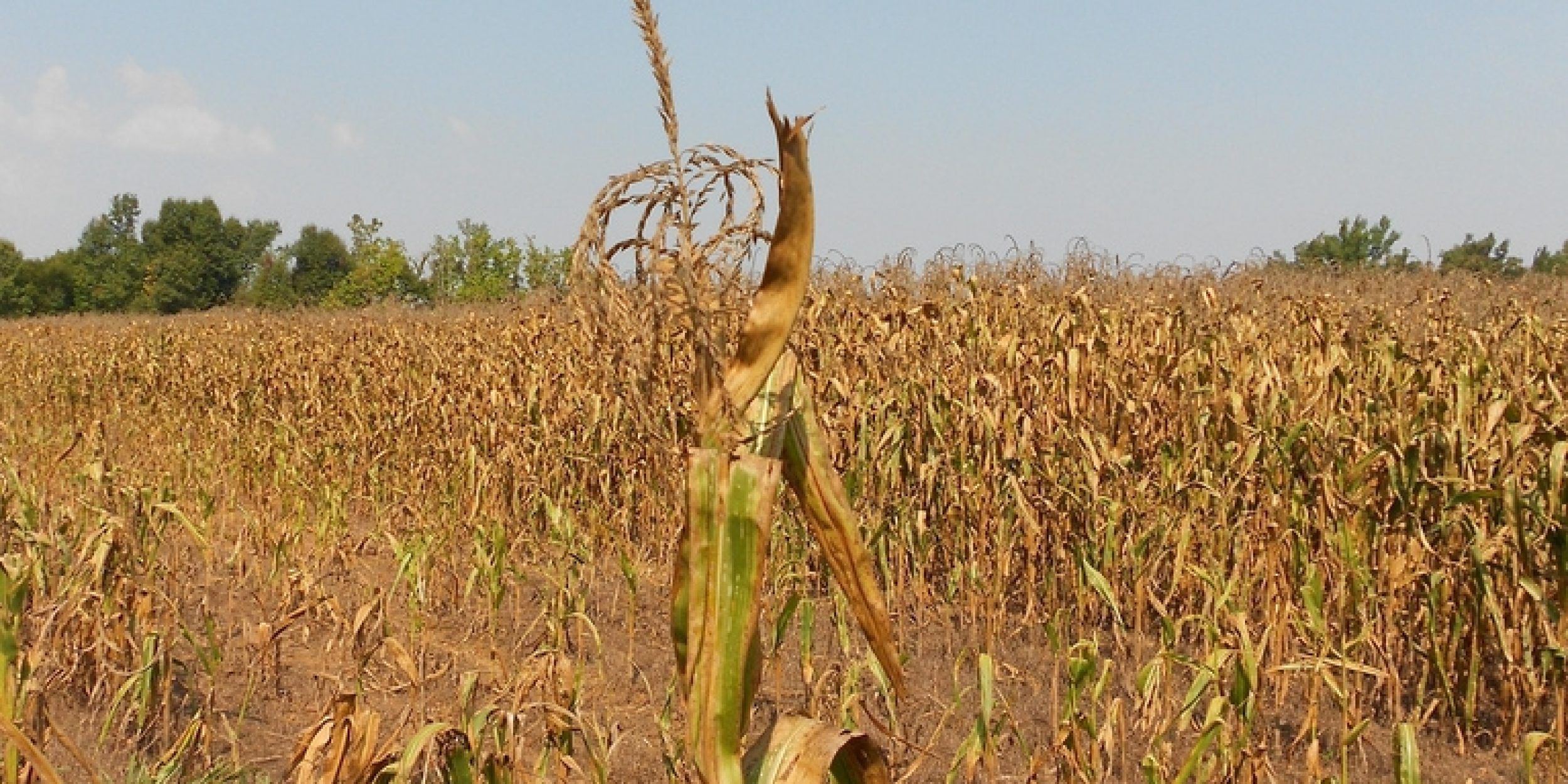
Farmers, ranchers, and water resource managers will now have more time to prepare for potentially damaging drought conditions thanks to a new early warning product now available online.
Developed by NOAA and partners, the new product uses satellite observations of land surface temperatures taken by NOAA’s Geostationary Operational Environmental Satellite (GOES) and vegetation information from NOAA’s and NASA’s VIIRS instrument. Researchers then use these observations to estimate water loss due to evaporation from the soil surface and water used by plants and evaporated from their leaves (transpiration).
Part of NOAA’s GOES Evapotranspiration and Drought Product System, or GET-D, the product provides drought warnings several weeks ahead of most other currently available drought indicators.


GOES and VIIRS are used to calculate the Evaporative Stress Index (ESI), which detects plant stress as indicated by dry soils, decreased plant transpiration, and warming land temperature occurring weeks before plants visibly dry out and lose their green appearance.
Scientists at the United States Department of Agriculture’s Agricultural Research Service (ARS) developed the ESI initially around 2009. Currently available satellite-based drought indicators base warnings on precipitation totals, soil moisture, or the relative amount of “greenness” from vegetation observed from space.
“Whereas many drought indicators based on precipitation or atmospheric conditions convey the potential for drought development, the ESI is one of few indicators that reveals actual vegetation stress conditions,” said Martha Anderson, USDA-ARS research scientist. “This is particularly important for agricultural droughts, where we want to know where and how the drought is actually affecting crop health.”
The GET-D system’s early warning potential is especially promising for rapid onset droughts, also called flash droughts, such as the devastating 2012 Central Great Plains drought.
Flash droughts reach their peak intensity within weeks and usually occur during the growing season, whereas typical droughts take months or even years to develop. Their quick onset makes flash droughts particularly devastating to farmers and ranchers who have less time to respond to the damaging conditions.
 During the 2012 flash drought, developers of the product observed, for the first time, a rapid change in the ESI in real-time that could provide valuable early warning to farmers, ranchers, and water managers. The ESI indicated drought conditions several weeks before other indicators.
“Droughts are one of the most common and devastating natural disasters, affecting communities across our nation,” said Mark Svoboda, co-founder of the U.S. Drought Monitor. “This new product will help communities spot and prepare for flash droughts, which come on quickly and take a heavy toll on businesses and the public.”
Researchers involved in developing the ESI emphasize that this new product is just their first foundational step towards a global drought monitoring product. With several large global end-users requesting information, the scientists hope to eventually expand the ESI to cover the entire world.
This new product represents many years of research and support by NOAA, NASA, the University of Maryland, U.S. Department of Agriculture, University of Wisconsin, and the National Drought Mitigation Center.
The development of the ESI was funded in part by the NASA Applied Sciences Program, as well as the NOAA Modeling, Analysis, Predictions, and Projections and Societal Applications Research Programs.
For more information about the ESI, go to: http://www.ospo.noaa.gov/Products/land/getd/ and http://hrsl.ba.ars.usda.gov/drought/.
For more information about drought, go to: drought.gov.


