Tools and Resources
Source:
U.S. Environmental Protection Agency (EPA)
The National Air Quality Forecast Capability (NAQFC) / National Weather Service (NWS) has provided operational air quality forecast guidance since…
Source:
Arizona State University | University of Arizona
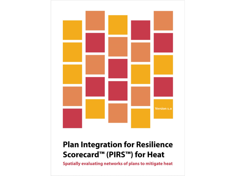
The Plan Integration for Resilience Scorecard™ (PIRS™) for Heat is an approach communities can apply to analyze how heat mitigation…
Source:
Centers for Disease Control and Prevention (CDC)
This tool visually maps and displays data of NOAA future heat events over 95° F and CDC’s Social Vulnerability Index…
Source:
U.S. Food and Drug Administration
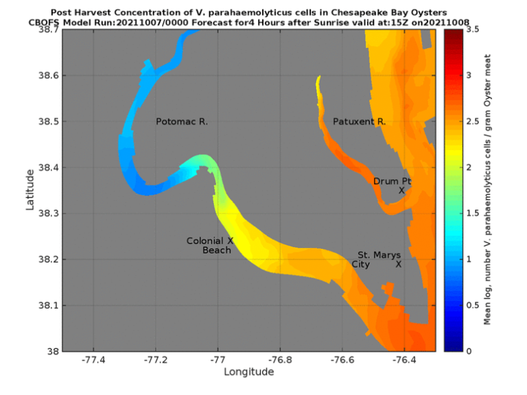
These maps are experimental and visualize the prediction of the concentration of Vibrio parahaemolyticus (Vp) concentrations in oysters harvested from…
Source:
U.S. Food and Drug Administration
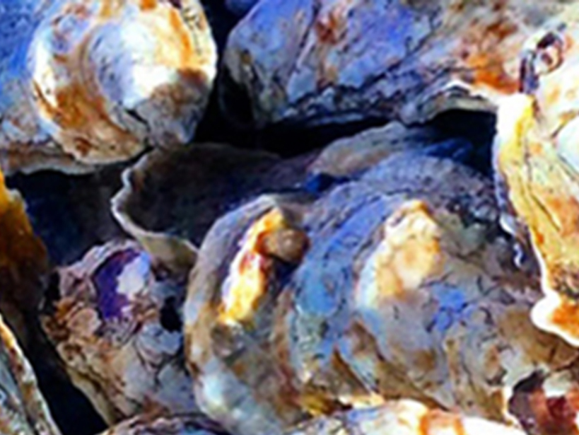
Vibrio spp. are bacteria that occur naturally in our coastal waters, but certain species and strains are highly harmful to…
Source:
National Centers for Coastal Ocean Science (NCCOS)
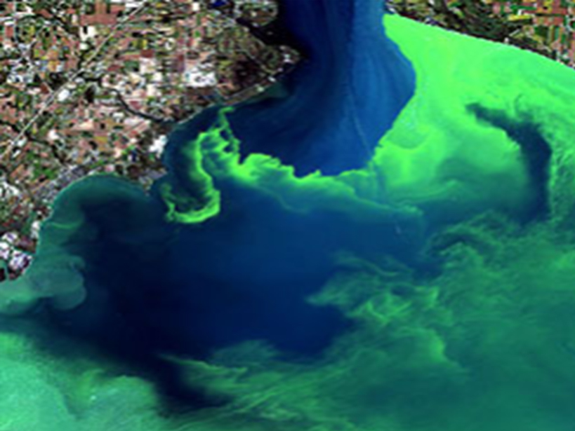
Harmful algal blooms (HABs) occur when algae—simple photosynthetic organisms that live in the sea and freshwater—grow out of control while…
Source:
National Centers for Environmental Information
The Harmful Algal BloomS Observing System (HABSOS) is a data collection and distribution system designed to provide environmental managers, scientists,…
Source:
NOAA Fisheries
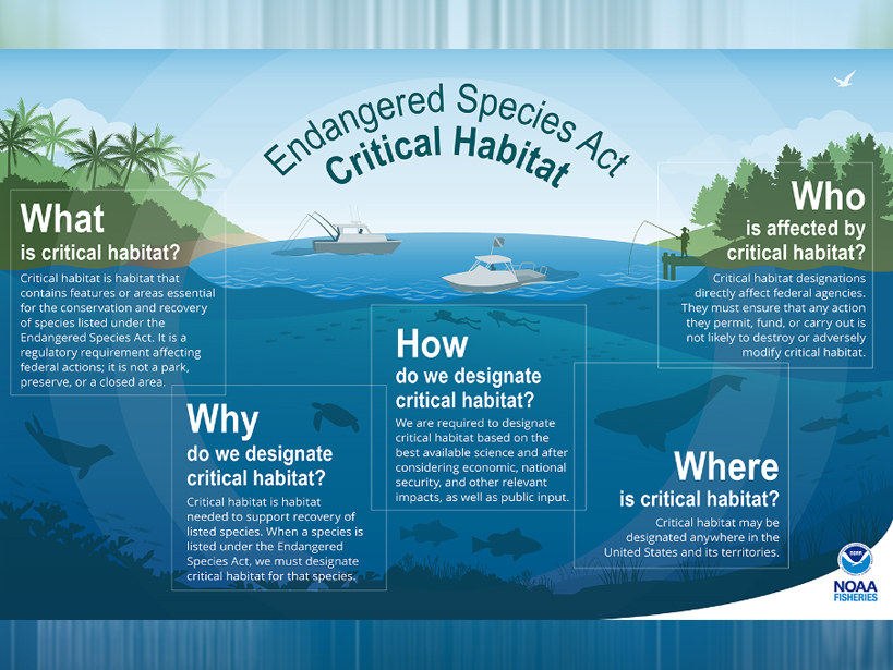
The National Marine Fisheries Service (NMFS) developed this service to standardize the Endangered Species Act (ESA) critical habitat spatial data…
Source:
NOAA Fisheries
Under the Marine Mammal Protection Act, an unusual mortality event (UME) is “a stranding that is unexpected, involves a significant…
Source:
NOAA Fisheries
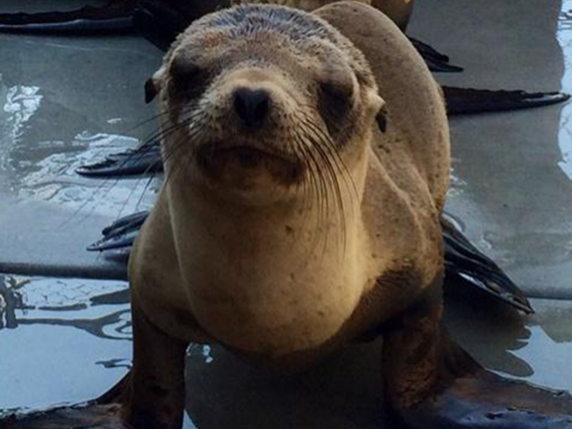
The Marine Mammal Health and Stranding Response Program (MMHSRP) coordinates emergency responses to sick, injured, distressed, or dead seals, sea…


