Building on an ONMS-CoastWatch Learning Exchange facilitated by CPO’s Marine Ecosystem Risk Team (MERT) and the outcomes of the ONMS-CPO Climate Change Priorities Workshop, the NOAA CoastWatch program developed and led a weeklong course, tailored for Sanctuary user’s needs, on how to use satellite information. This training course represents the latest result of CPO’s partnership with ONMS in order to reinforce and expand the application of climate science in National Marine Sanctuaries activities in support of NOAA’s stewardship mission.
NOAA CoastWatch includes a central operations office at NESDIS and a distribution of regional nodes that are integrated across the line offices. CoastWatch provides satellite data products for understanding and managing our oceans and coasts, and provides training and tailored products to users (e.g.TurtleWatch, EcoCast, WhaleWatch).
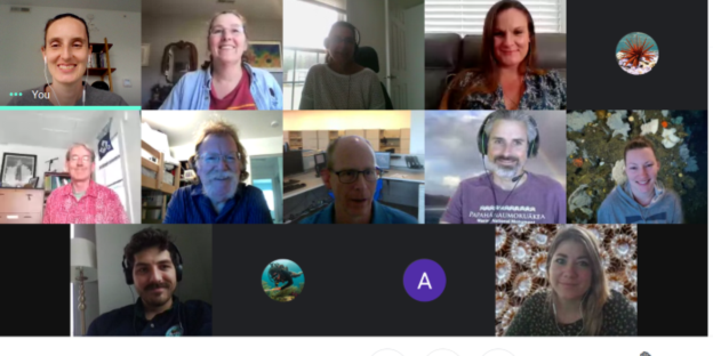
The CoastWatch training was held April 5th – 9th and represents a step toward addressing the Climate Change Priorities Workshop recommendations: supporting ONMS in using NOAA’s wealth of data and services and building the capacity within ONMS to address research and management challenges in a changing climate. 18 ONMS staff participated from eight Sanctuaries.
CoastWatch instructors Melanie Abecassis, Michael Soracco, Cara Wilson, and Dale Robinson led Sanctuary staff through a week of invited talks, group discussions, and individual projects supported by forum discussions. Participants heard from NOAA’s Derek Manzello (NESDIS/STAR, Coral Reef Watch), Sean Helfritch (NESDIS/STAR, vessel detection) and John Sweeney (NMFS/PIFSC, vessel tracking).
Adapted for the current virtual environment, with flexible scheduling in mind, participants were able to work through narrated powerpoints and tutorials at their own pace on topics including: Satellite 101, Dataset selection, Using data portals and ERDDAP, and Specific Software (R, Python, and ArcGIS). Participants also had the option to “Dive Deeper” through video and tutorials into specific datasets. Sanctuary staff presented their individual projects at the end of the class and projects ranged from utilizing satellite data to track the migration and variability of the Transition Zone Chlorophyll Front (TZCF), which impacts Hawaii’s ecological resources in Papahānaumokuākea Marine National Monument to integrating human use patterns, species presence/absence, and climate data in the Channel Islands National Marine Sanctuary.
Due to this training and user engagement led by CoastWatch, Sanctuary staff are now increasingly considering where and how they can integrate NOAA/NESDIS and other satellite data and products in the service of stewardship. Participants commented they now know where they can find NOAA data and who to talk to at CoastWatch if they have questions about the data (coastwatch.info@noaa.gov). With plans to work across the Sanctuary network on specific opportunities, the participants were excited to further explore data applications to their Condition Reports as well as research and monitoring needs.
CoastWatch efforts support the overarching goal of the Marine Ecosystems Risk Team (MERT) initiative to increase collaboration between ONMS and other NOAA programs and develop partnerships between labs, NOAA programs, and individual sanctuaries to advance NOAA’s stewardship mission. For more information email cpo.mert@noaa.gov.


