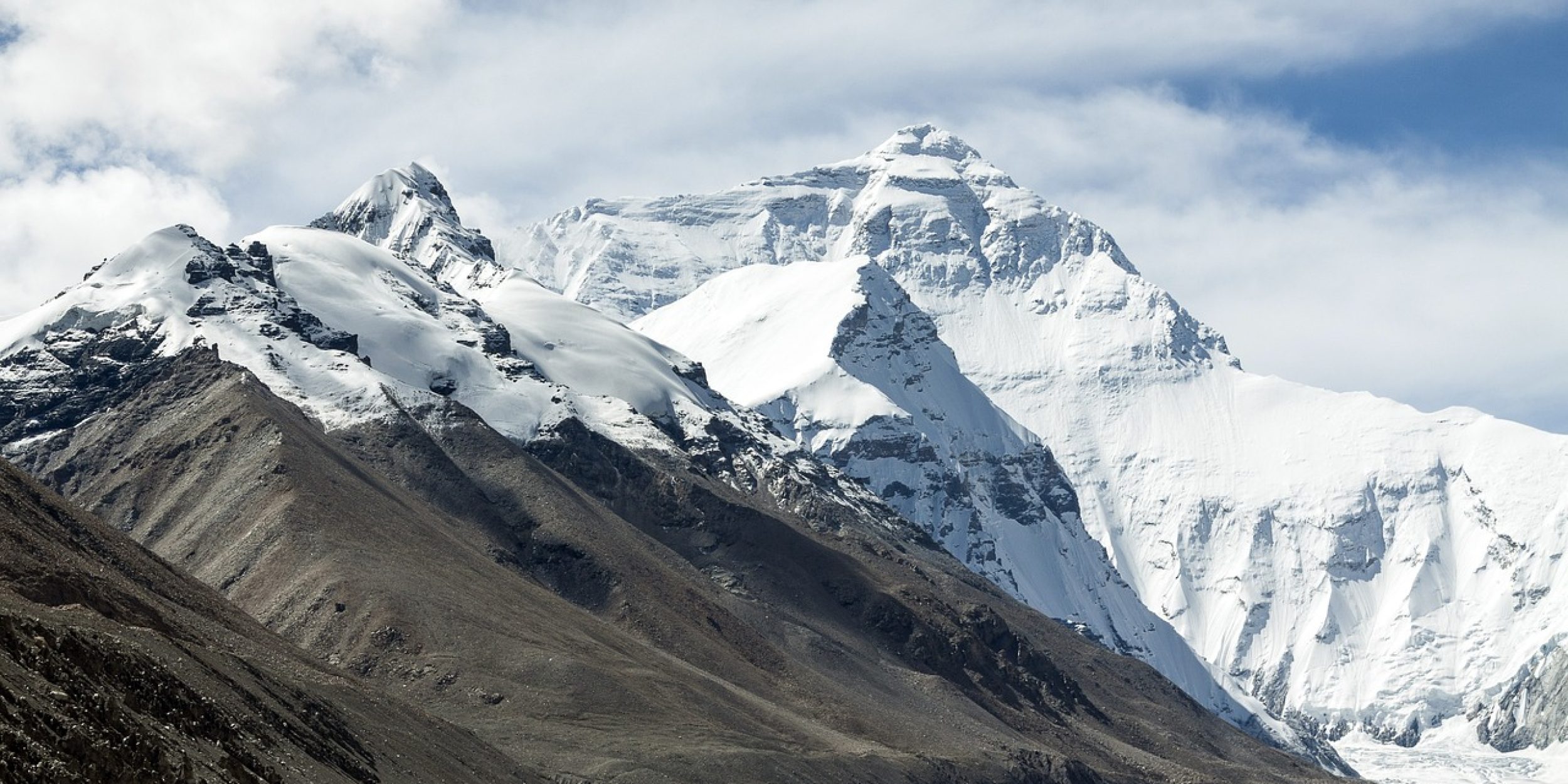
Radiation from the sun plays a significant role in Earth’s surface energy balance and global climate. Rugged terrain complicates this energy balance, impacting the water cycle, atmospheric circulation, snow processes, clouds, and more. A new study, supported by the Climate Program Office’s Modeling, Analysis, Predictions, and Projections (MAPP) Program, investigates interactions between solar radiation and the complex topography of the Tibetan Plateau using an Earth System Model. MAPP supports scientist Yu Gu of the University of California, Los Angeles to improve our capability to simulate land components and interactions in models. Gu worked with researchers from the Pacific Northwest National Laboratory on this Geophysical Research Letters paper to highlight the important role of solar radiation-topography interaction in modulating climate.
The Tibetan Plateau is the largest area of elevated topography on Earth, characterized by mountain ranges and large lakes. The authors of this study demonstrate that the rugged terrain alters the way sunlight casts shadows and how the land surface reflects or absorbs energy, resulting in an average temperature increase of about 0.5°F. The results also show how these interactions affect precipitation patterns in South and East Asia, providing evidence of remote influences on climate. Properly accounting for these interactions in models improves the representations of temperature and precipitation in local and remote climate patterns. This project works toward a MAPP initiative, funded in collaboration with the Department of Energy, to accelerate improvements in representing land-based processes as part of the climate system in NOAA models.
For more information, contact Clara Deck.
Image credit: Pixabay


