NOAA, communities to map heat inequities in 14 states, 1 international city
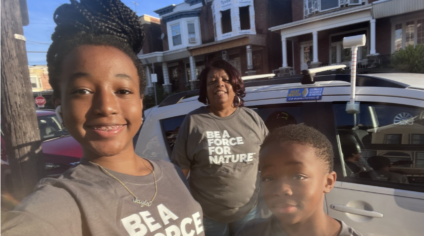
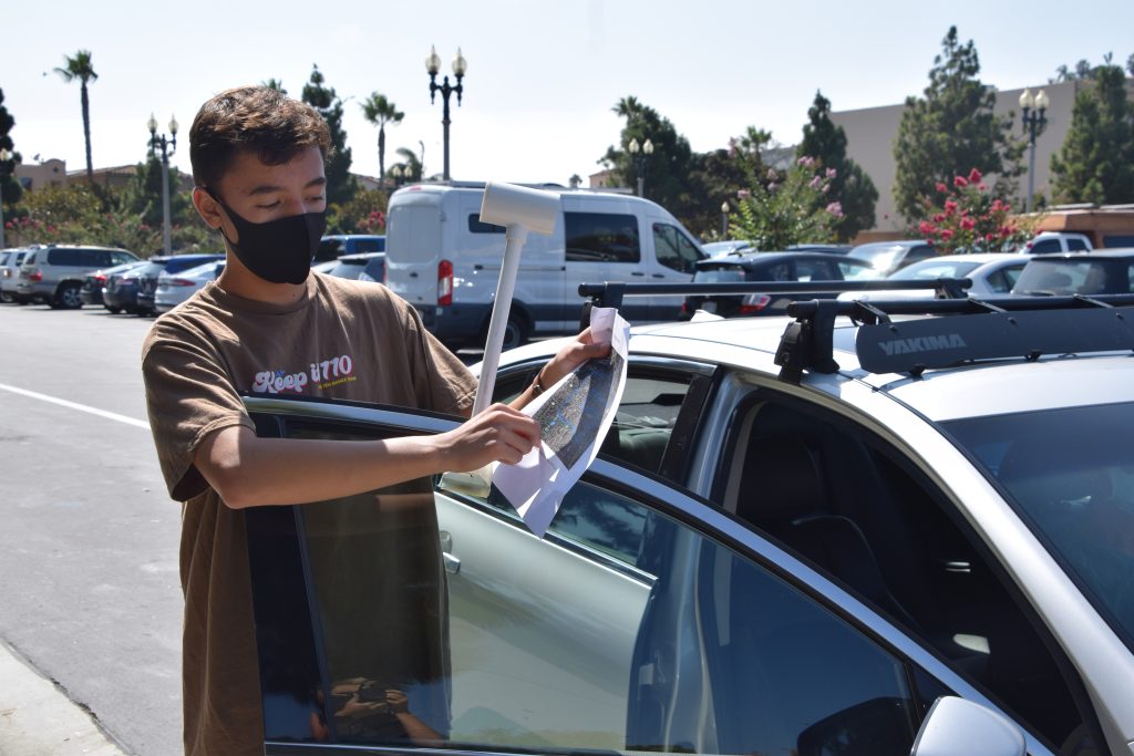
This summer, NOAA and citizen scientists will map the hottest parts of 18 communities in 14 states across the country and in one international city.
Advancing scientific understanding of climate, improving society’s ability to plan and respond
This summer, NOAA and citizen scientists will map the hottest parts of 18 communities in 14 states across the country and in one international city.
This Sunday, August 7th, volunteers in Montgomery County, MD will participate in the National Integrated Heat Health Information System (NIHHIS) “Urban Heat Mapping Campaign”. The data gathered will inform solutions to combat extreme heat impacts in the county.