New website offers an inventory of CitSci efforts to track coastal change
This is just one output from CPO’s Coastal Inundation Risk Team, encouraging on-the-ground citizen science through the use of interactive visual tools.
Advancing scientific understanding of climate, improving society’s ability to plan and respond
This is just one output from CPO’s Coastal Inundation Risk Team, encouraging on-the-ground citizen science through the use of interactive visual tools.
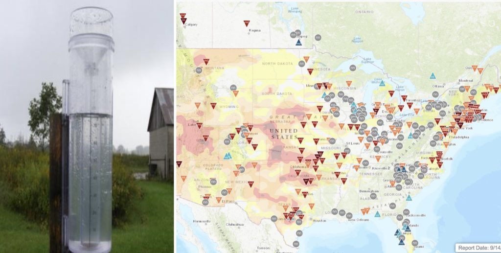
The project exhibits on-the-ground details being incorporated into existing drought monitoring processes.
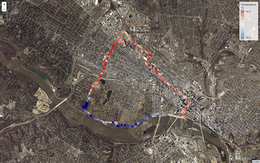
Community organizers in eight U.S. cities have been offered support for UHI mapping campaigns through the National Integrated Heat Health Information System (NIHHIS) and CPO’s Communication, Education, and Engagement Division.
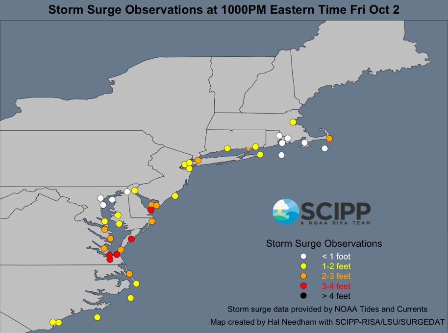
From Southern Florida to Maryland, RISA teams (CISA and SCIPP), Sea Grant programs, and other organizations coordinated a rapid response effort to map coastal flooding during Hurricane Joaquin using a new smartphone app developed by Wetlands Watch.