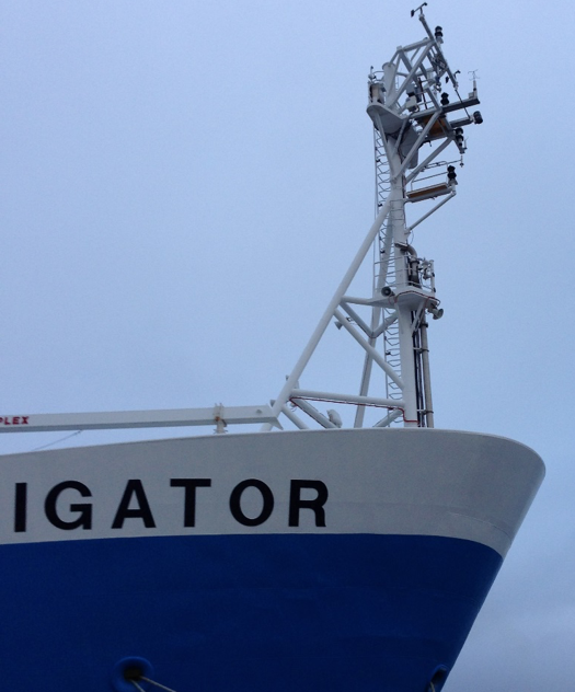
Aboard new Australian ship, NOAA studies remote Southern Ocean
NOAA scientists installed NOAA’s Air-Sea Flux System on a new Australian research vessel to help expand a currently sparse database of Southern Ocean measurements.
Advancing scientific understanding of climate, improving society’s ability to plan and respond
NOAA scientists installed NOAA’s Air-Sea Flux System on a new Australian research vessel to help expand a currently sparse database of Southern Ocean measurements.
The Surface Ocean Carbon Atlas (SOCAT) is a community effort to assemble and quality control all publically available surface water partial pressure/fugacity of carbon dioxide CO2 data (pCO2 or fCO2). This data is the cornerstone to determine fluxes of CO2 between the ocean and atmosphere, and trends in surface ocean acidification. Over one-third of the data originates from CPO/COD funded efforts on ship of opportunity (SOOP-CO2) and moorings.
This week two Deep SOLO prototypes were recovered after being in the Pacific for a little more than a year. These prototypes are able to go down to 6000m and send valuable data via satellites to scientists at the Scripps Institution of Oceanography (SIO).
Work supported by the Climate Program Office’s Climate Observation Division (authors: C. Seethala, et al. from the Scripps Institution of Oceanography) has been published online for early release in the Journal of Climate.
A paper supported by CPO’s Climate Observation Division (COD) was published in Geophysical Research Letters. The paper–Seasonal variations in the aragonite saturation state in the upper open-ocean waters of the North Pacific Ocean–was published online on June 16, 2015.