
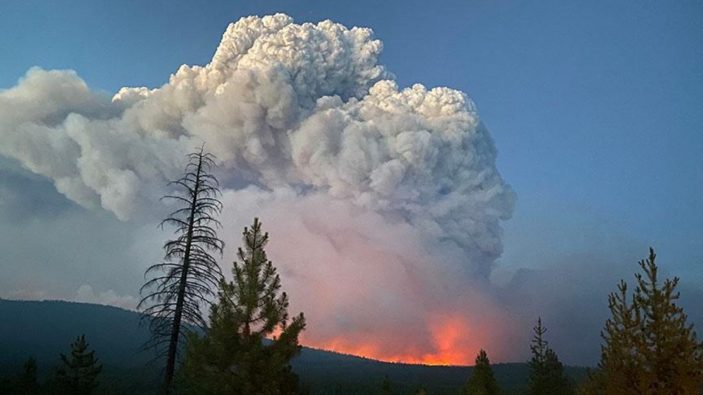
West RISA researcher co-authors new publications on simulations of wildfire burn severity maps
Based on California wildfires, this research team develops empirical models to improve burn severity and high-severity patch area maps with vegetation regimes to create efficient wildfire burn severity maps that will improve land use management by policy makers.