Official websites use .gov
A .gov website belongs to an official government organization in the United States.

Secure .gov websites use HTTPS
A lock ( ) or https:// means you’ve safely connected to the .gov website. Share sensitive information only on official, secure websites.

Texas

Map of southeastern Texas and southern Louisiana. Shaded in light green to dark blue representing precipitation (1 to 12 inches).

The South Central Climate Adaptation Partnerships team recently published a rainfall analysis of the May 2021 southeastern Texas and southern Louisiana flood

The paper discussed the synoptic setting of the rainfall event, which caused over $1 billion in damage, and highlighted the need for further research on extreme precipitation events using Depth Area Duration.

The South Central Climate Adaptation Partnerships team recently published a rainfall analysis of the May 2021 southeastern Texas and southern Louisiana flood Read More »

The Southern Climate Impacts Planning Program (SCIPP), a NOAA CAP/RISA team, expands their Temperature Trends Dashboard Tool

While other resources exist that present regional or national trends in temperatures, few tools offer such information on a local level. This dashboard helps to fill that gap by providing location-specific information about changes in temperature in the last 52 years.

The Southern Climate Impacts Planning Program (SCIPP), a NOAA CAP/RISA team, expands their Temperature Trends Dashboard Tool Read More »

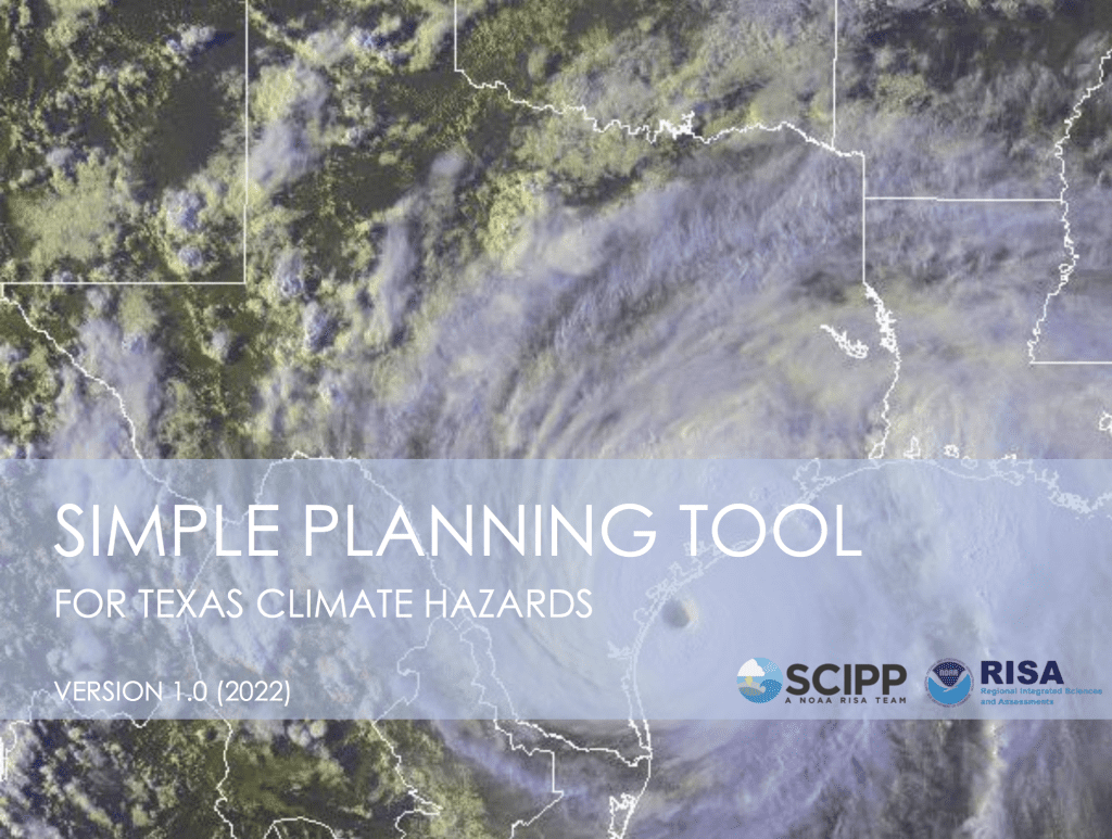
The Southern Climate Impacts Planning Program (SCIPP), a NOAA RISA team, announces expansion of the Simple Planning Tool to Texas

The Simple Planning Tool for Texas Climate Hazards, previously available in Oklahoma and Arkansas, assists planners, emergency managers, and decision makers in Texas who are assessing their long-term climate risks, both historically and in the future.

The Southern Climate Impacts Planning Program (SCIPP), a NOAA RISA team, announces expansion of the Simple Planning Tool to Texas Read More »

Scroll to Top