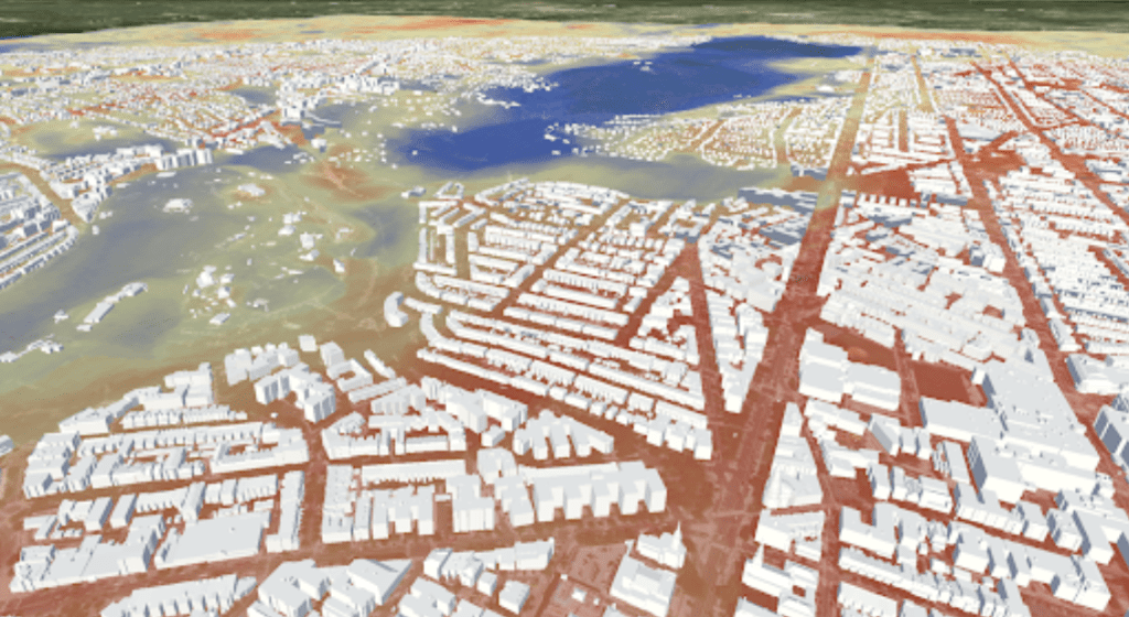
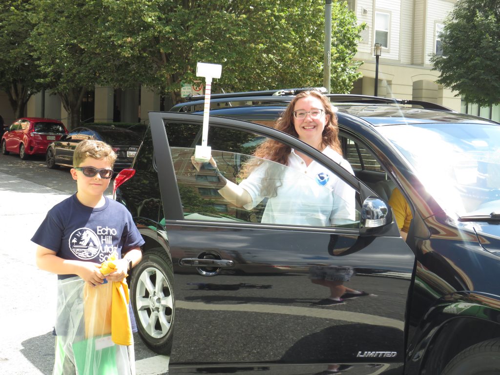
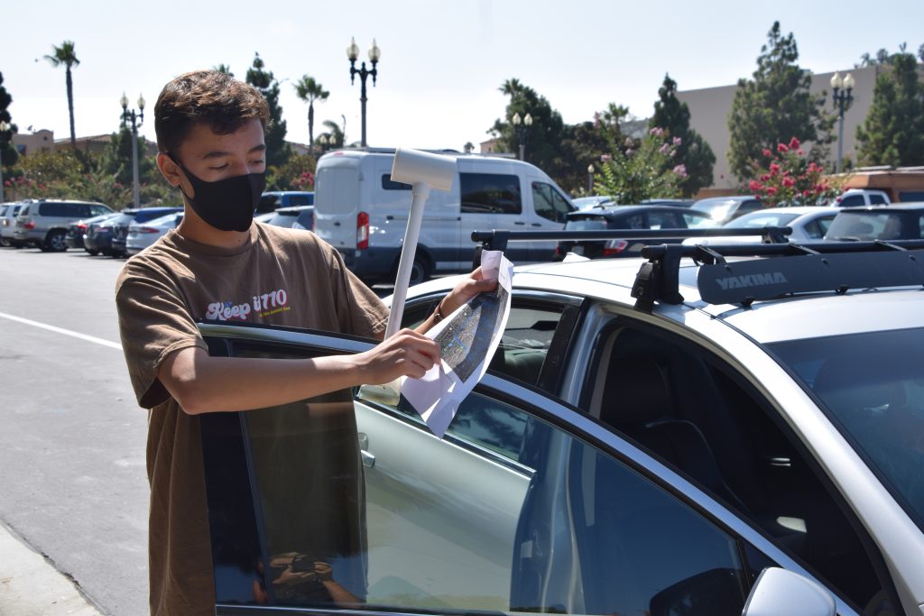
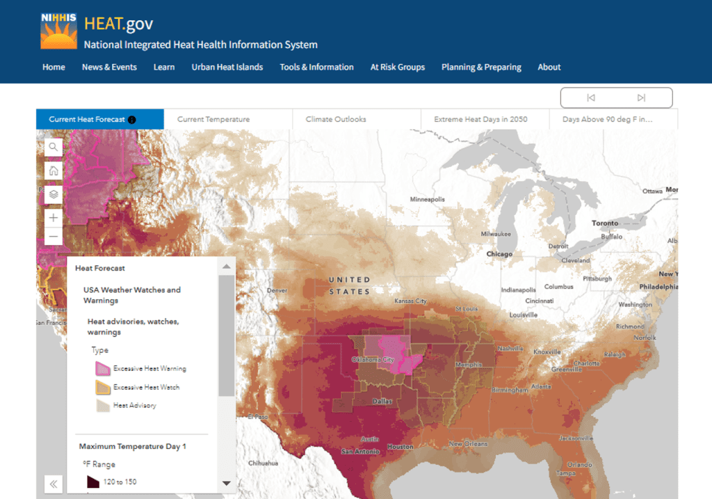
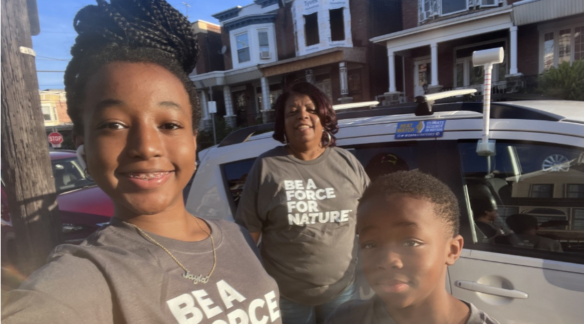
NOAA, communities to map heat inequities in 14 states, 1 international city
This summer, NOAA and citizen scientists will map the hottest parts of 18 communities in 14 states across the country and in one international city.
Advancing scientific understanding of climate, improving society’s ability to plan and respond
This summer, NOAA and citizen scientists will map the hottest parts of 18 communities in 14 states across the country and in one international city.
The Urban Heat Island Mapping Campaign program is a signature program of NIHHIS, and the results from the mapping campaigns can be used to inform decision makers and implement cooling solutions across the US.
NOAA’s NIHHIS along with partners at NESDIS’s data visualization lab and NOAA’s Science on a Sphere have developed a virtual reality experience that will be highlighted by the US Government at the US Center during COP27.
On August 7th, more than 100 volunteers in Montgomery County, MD participated in the National Integrated Heat Health Information System (NIHHIS) “Urban Heat Island Mapping Campaign”.
This Sunday, August 7th, volunteers in Montgomery County, MD will participate in the National Integrated Heat Health Information System (NIHHIS) “Urban Heat Mapping Campaign”. The data gathered will inform solutions to combat extreme heat impacts in the county.
On July 26th, the National Integrated Heat Health Information System (NIHHIS) launched a new portal, Heat.gov, to provide the public and community decision makers with clear, timely, and science-based information to understand and reduce the health risks of extreme heat.
Community organizers in eight U.S. cities have been offered support for UHI mapping campaigns through the National Integrated Heat Health Information System (NIHHIS) and CPO’s Communication, Education, and Engagement Division.