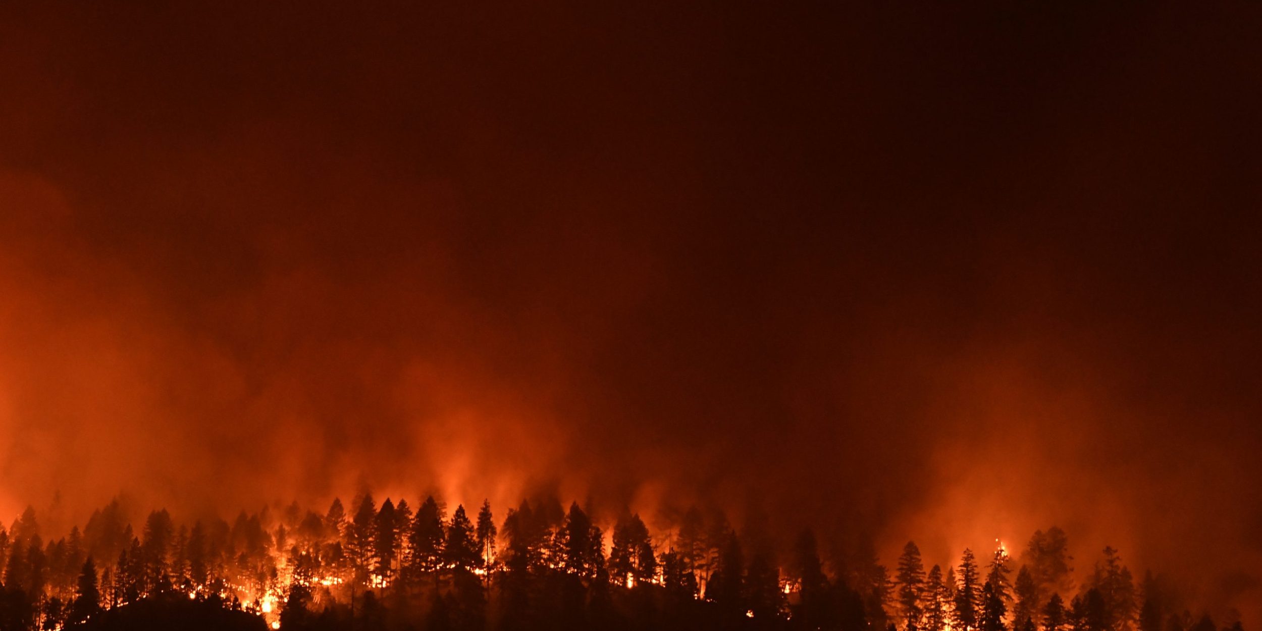
The Climate Program Office’s Atmospheric Chemistry, Carbon Cycle and Climate (AC4) Program supported a new study that uses satellite data to analyze gases emitted from wildfires. Scientist Joost de Gouw of the University of Colorado, Boulder, worked with an international team of researchers to enhance our understanding of wildfire emissions beyond current forecasts. This work supports an AC4 initiative to advance science on fire and smoke at the interface between wildland and urban areas.
As wildfires grow larger and more frequent due to climate change, they significantly impact air quality. Current air quality forecasts and climate models overlook important changes in the composition of wildfire emissions as they shift from intense flames to smoldering combustion. Laboratory studies have indicated potential changes, like a decrease in nitrogen dioxide (NO2) relative to carbon monoxide (CO) over time. However, satellite observations from the Tropospheric Monitoring Instrument (TROPOMI) analyzed in this study, monitoring wildfires in the Western United States, reveal some discrepancies from those results and more detailed results. This research, published in Geophysical Research Letters, highlights the evolving nature of wildfire emissions and how space-based observations could enhance our understanding, potentially improving global air quality forecasts and climate models.
For more information, contact Clara Deck.
Image credit: Robert Hyatt, NOAA’s National Weather Service


