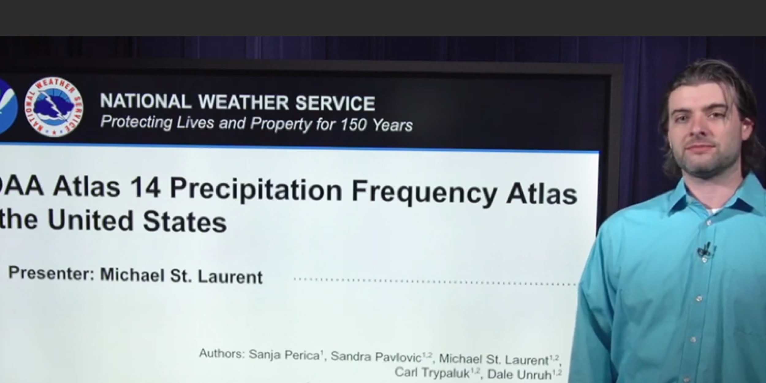
NOAA Atlas 14 is a project of the National Weather Service’s Hydrometeorological Design Studies Center (HDSC) that provides precipitation frequency information for the U.S. states and territories. NOAA precipitation frequency estimates serve as the de-facto standards for designing, building and operating infrastructure to withstand the forces of heavy precipitation and floods.
In this video, HDSC meteorologist Michael St. Laurent explains what these values are, how they are used, how they are derived, inherent uncertainties in the existing methodology and data, and, more importantly, NOAA’s plans for future volumes that make several important modifications, including new non-stationary methods for incorporating future climate projections.
This video was produced for a CPO/SARP and NESDIS study supported by the NOAA Water initiative on understanding and filling the climate and weather informational gaps for small – medium size water utilities.


