As coastal communities continue to experience the impacts of increased storms, flooding and sea level rise, public participation in monitoring that change is more important than ever. And, when readily available technologies such as the cell phone in your pocket can serve as a data collection tool, there’s never been a better time for the public to participate in environmental monitoring—or even start a project of their own.
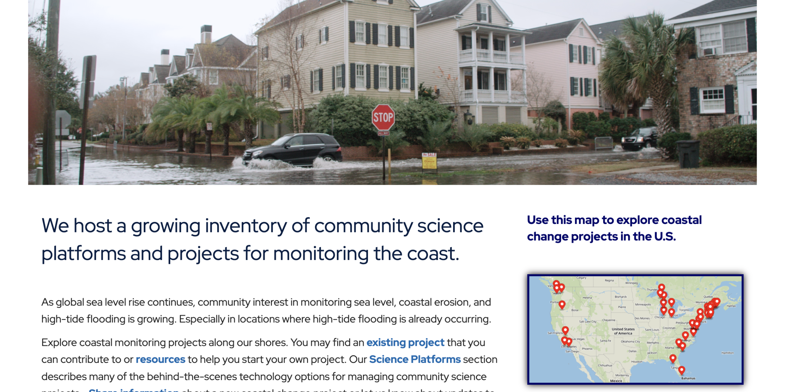
To support such efforts, CPO’s Coastal Inundation Risk Team compiled an inventory of Citizen Science projects to track coastal change. This inventory, paired with a form to collect information on additional projects, is now available on a WHOI Sea Grant website, Communities Tracking Coastal Change.
People who are interested in tracking local coastal change can search for existing projects on a map. Those who want to start a new project can explore descriptions of “science platforms” that can help people make and share coastal observations.
Many projects in the inventory use photographs to document their observations. Pictures showing high water levels during King Tides or animations of snapshots taken at repeat photography monuments give people a way to visualize how the coast is changing. Some projects use other tools such as basic survey equipment, signage, drones, and water level loggers.
One innovative project encourages participants to gather data documenting exactly where flooding occurs: volunteers walk along the edge of flood waters, using the Sea Level Rise app to drop a GPS pin every five steps. The app exports the points in a format that can be displayed as a map layer in geospatial software. Thus, community-contributed data can be shared with city planners, emergency management personnel, and flood modelers to assist in decision making and adaptation strategies.
In the NOAA Coastal Inundation at Climate Timescales Whitepaper, citizen science is called out as a potential strategy to encourage local residents to co-develop, provide, and apply actionable information to assist decision making. This inventory may facilitate contributions to this effort.
The inventory was inspired and supported by work with a National Sea Grant-funded project, Engaging Citizens to Monitor and Document Shoreline Flooding and Erosion in the Northeast.
For more information, contact LuAnn Dahlman.


