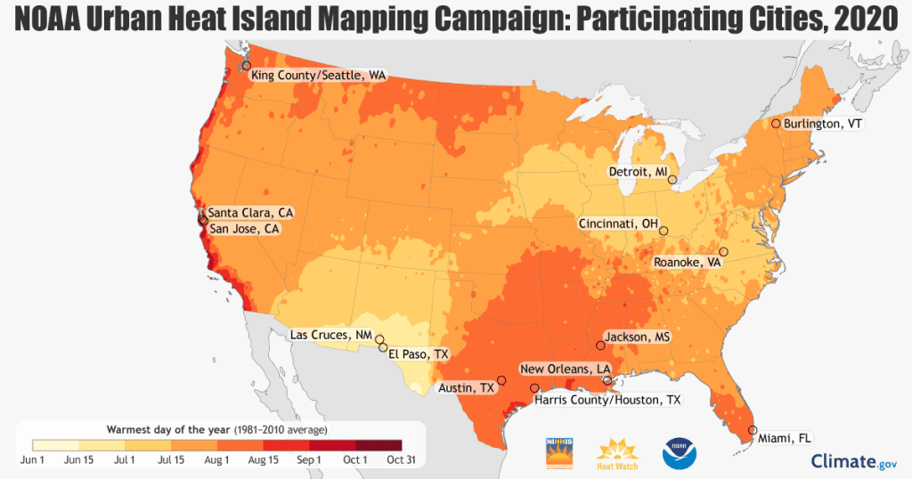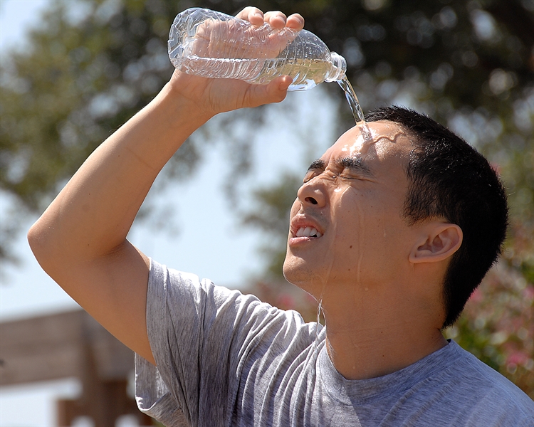
CPO Funds University of Vermont Extreme Heat Project
The project will build on outcomes from NOAA’s community-led field campaigns, which have helped engage the Burlington community and have produced critical hyperlocal temperature information. But cities, and Vermont’s smaller cities and communities in particular, need more tools and resources to help them determine the most effective and efficient solutions tailored to their needs.
CPO Funds University of Vermont Extreme Heat Project Read More »